StCuthbertsWayWalks

Saturday, May 16, 2009

St Cuthbert’s Way Accommodation 2009


The Townhouse, Melrose:


Melrose is a lovely small border town famous for the remains. There are lots of hotels to choose from here, and several B&B’s to suit all budgets. I had a good week at Cheltenham races so William Hill’s paid for my bed and board. This hotel was recently refurbished and has a decent bistro as well. The room was huge and quiet and really well furnished. We ate in the bistro and the food was good, all in all an enjoyable stay....until I breakfast and I had to pay the bill

Ancrum Craig B&B, Ancrum:


When I drove up here on day zero to check the location I nearly got stuck on the track that leads into the driveway. The lady of the house came around the corner enquiring if we’d changed our minds. It reminded me a bit of Little Britain – but although old fashioned, it was clean and very comfortable, and the owners have run it for 30years or so. We had tea made for us on arrival and a fire lit in the lounge, and it has a tremendous outlook over the surrounding landscape. It is some distance from Ancrum and you would need transport down to the local pub to eat – about 1 ½ miles away. The local pub for an evening meal was The Cross Keys and I think that applied to the owner. She was busy when we got there and insisted we sat down with a menu, saying to me in a lilting Scottish ‘do you understand’. I understood she didn’t like me standing at the bar as she couldn’t serve the locals in the snug without serving me as well. So that kind of p*%£& her off, but I stood my ground and got a drink. The food was just pub grub, and it filled a spot but no more.
There may be a better choice of places to stay and eat at nearby Jedburgh, but the B&B was good and the breakfast was well done.
http://www.ancrumcraig.co.uk/ac.asp

The Border Hotel, Kirk Yetholm:

This hotel is the first watering hole you see at the end of the Pennine Way, and a very welcome sight it must be. The rooms have been refurbished recently and I stayed in the Teviot room – very nice as well and well appointed. We ate in the bar in the evening, and it had a good atmosphere early on with good food and service. Later on it went a little quiet as the diners disappeared but it was a very enjoyable stay. Service at breakfast was great – we were the only ones staying!
There are several B&B’s close by and more in Town Yetholm a short distance away.

http://www.theborderhotel.com/


Rockcliffe House B&B, Wooler:

This B&B is one of many in Wooler. It is just off the high street but in a quiet location, and very handy for the local Italian restaurant called Milan – part of the adjacent hotel. The B&B was clean and the service was lovely by the young lady who runs it. The room was a decent size and breakfast was good and set me up for my long final day. A nice little town is Wooler. The Milan was an ok Italian restaurant and reasonably priced – but I suppose that’s all in the eye of the beholder.

http://www.rockliffehouse.co.uk/

Bamburgh View B&B, Holy Island:


Run by a couple from Yorkshire, and newly refurbished rooms. A lovely welcome
and a good sized room, with everything you will need. Close to the abbey remains and
the local pubs. Holy Island has a few B&B’s dotted around and they are not from
anywhere – it’s a small place and very quiet when the tide is in and
everybody has gone home. We ate at the Crown and Anchor – one of the two pubs. It
was Ok but nothing special. But it was a very relaxing place to wind down the end of
the walks as we couldn’t leave until the tide went out at 10:30, and better still no one
could arrive either!

All of the places we stayed had a WiFi connection, which was handy as I had my
notebook with me, and that allowed me to download my pictures every night and post
a message to the walking forum I use.
The rooms also had a settee to sit down and have a well earned cup of tea at the end of
the days walk.
All of the proprietors were very friendly with the exception of the landlady in the
Cross Keys in Ancrum – but we all have our off nights don’t we?
If you are thinking of doing this route then some planning and thought has to go into
your selection of accommodation – and campers I’m sorry, but I didn’t really look for
any campsites.

Tuesday, May 12, 2009

St Cuthbert's Way - Day Four

Day Four: 30th April 2009.
Weather: Dull weather, but warm with an odd patch of sun
Wooler to Lindisfarne Castle: 20 miles (1/2 mile diversion – oops)

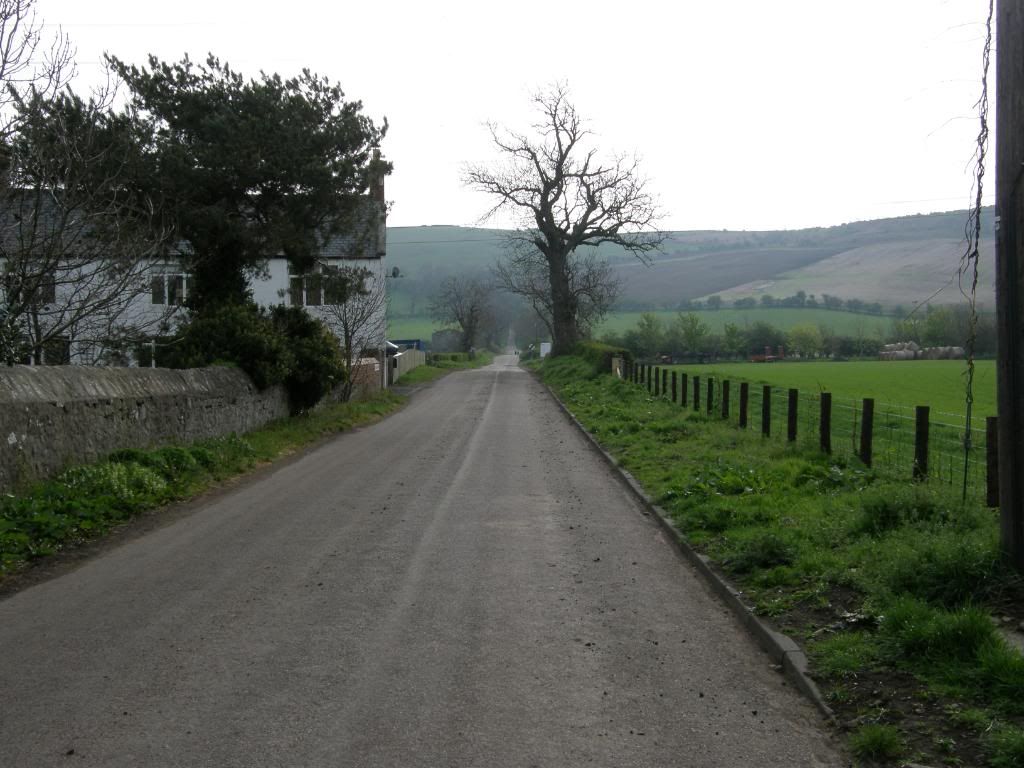
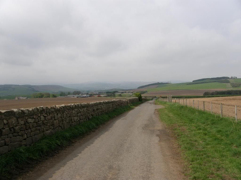
We stayed over at a lovely B&B run by a young lady who does a lot of horse riding. Breakfast was good and the whole stay was very relaxing. I had already walked out of Wooler on a previous walk so I knew the way out of town onto the correct route. The weather forecast was not great so I ditched the brolly, and as it was a little cool today so I decided on wearing my merino wool base layers for warmth and lightness. I also donned lightweight shorts so I had somewhere to store my fruit pastilles and GPS (I’ve got my priorities right) and then donned overtrousers so I didn’t look like a complete t^@t. By the time I had walked a few miles I knew that was a mistake as I was rather warm and decided to find somewhere to remove my leggings. After watching the road for a few minutes nothing had passed me by and I slipped into a gated entrance to disrobe. Now as you know as soon as I had taken off my overtrousers, shorts, and leggings the traffic started to flow. I don’t know who was more surprised at seeing someone down a small country lane – me, standing in his underwear, looking very suspicious, or the drivers of various cars, tractors etc. I think the nearby sheep were a little worried though – "baaa that’s the farmer’s job". I left Wooler early by my standards at 08:30 as I didn’t want to miss the tide over to Lindisfarne or get stranded in one of the refuges along the way. My actual average speed today (as measured by my GPS) was 3mph compared to the 2.5mph I had averaged over the previous 3 days. That was probably due to the need to beat the tide but also gives some indication of the terrain today – lots of roads, tracks, good field paths and only a few low hills to negotiate. As it was I easily made the Island B&B in plenty of time to enable me to visit Lindisfarne Castle.

Photobucket
Not a Roman road – just uphill to Weetwood Moor

Photobucket
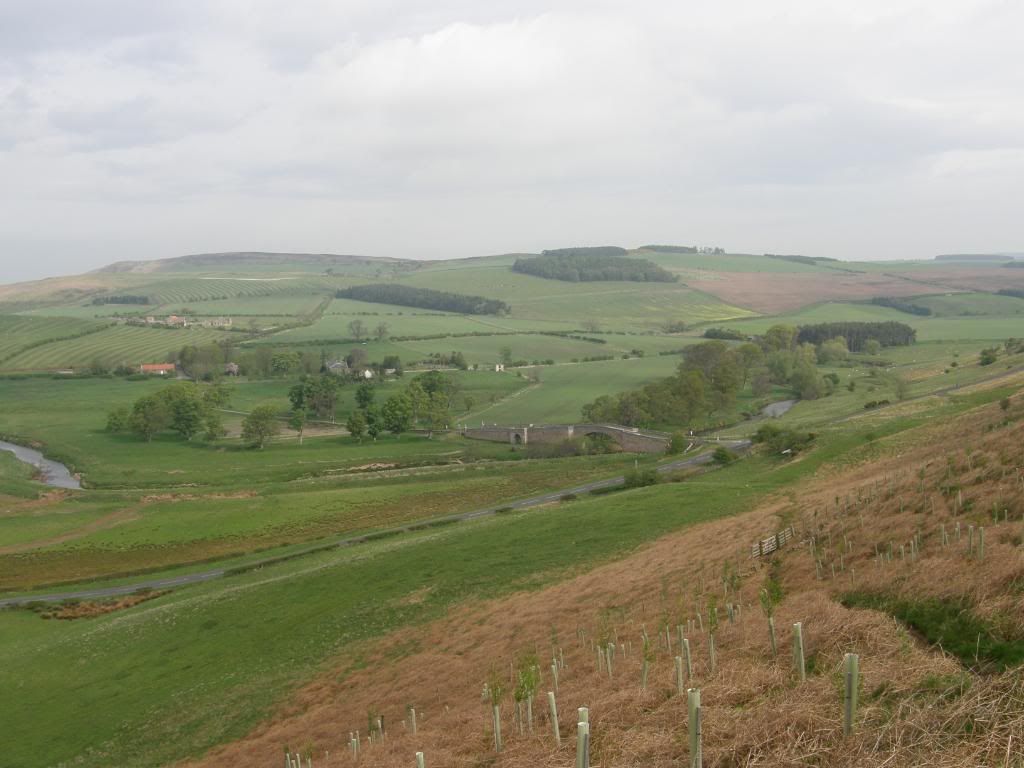
All uphill to start the day

Photobucket
Looking back down to Wooler with Hambleton Hill behind

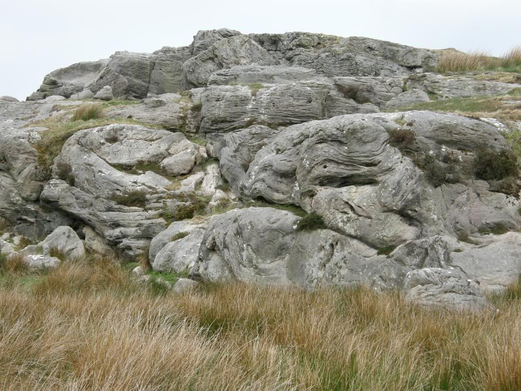
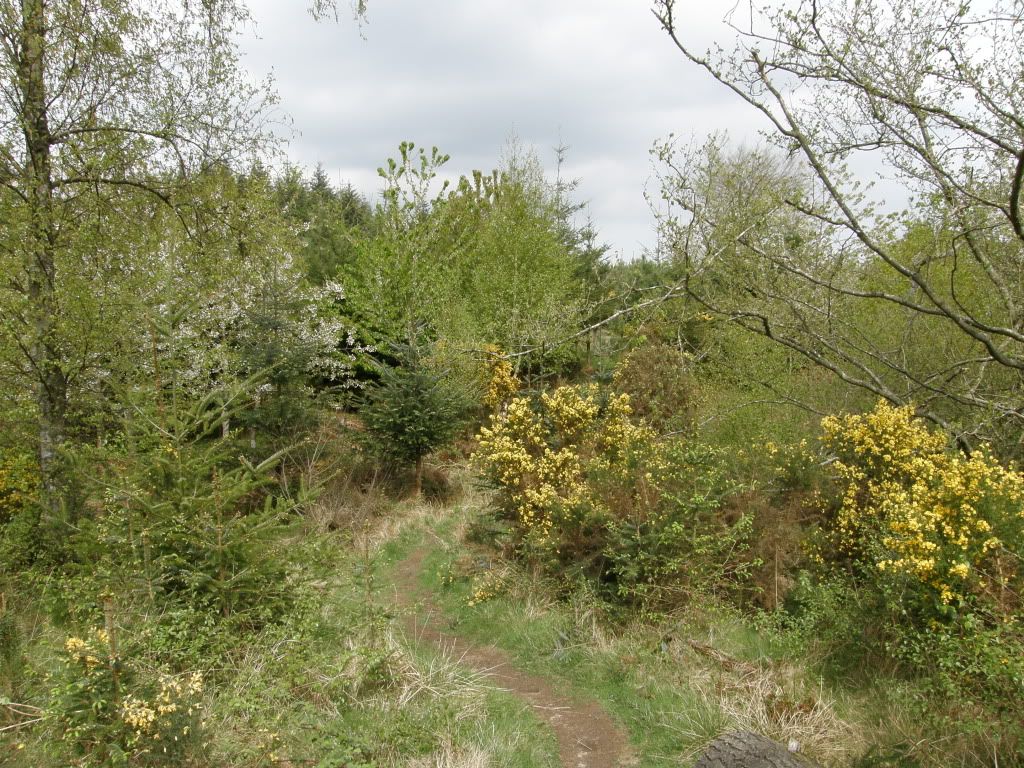
The initial route out of Wooler is straightforward enough and I was soon making headway up a long lane past the local school, and up a steady incline towards Weetwood Moor. As usual my self control let me down badly and I had munched my way through my last packet of fruit pastilles before I had walked a mile. It was a bit like Watership Down up on the moors as the hillside was riddled full of rabbit holes, with a few cheeky young ones nibbling away on the grass as I passed by. Once on top of Weetwood Moor there were good views all around, over to Doddington Moor and Buttony, and behind me back to Wooler and the Cheviots beyond. I passed by a few old earthworks and had a quick scout around for some more Cup and Ring markings, but didn’t spot any close by the path. There were plenty of jumbles of stone lying around and the path was lovely springy grass and was made to stride along at a fair old lick.

Photobucket
Nearly at the end of the moor – some more earthworks

Photobucket
Down to Weetwood Bridge with Buttony and Doddington Moor above

Photobucket
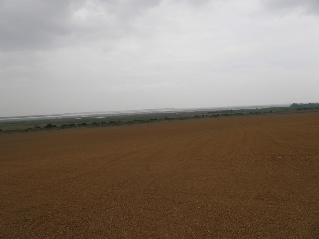
Back across the floodplain to Wooler

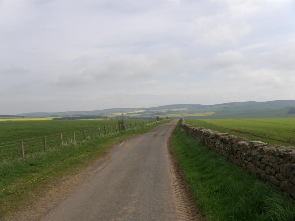
As I started to drop down off the top of the moor to Weetwood Bridge, I disturbed a Red Deer that was grazing in a newly planted bit of forestry, but all I managed was a blurry image – story of the week as far as wildlife is concerned. From my position high up on the moor I realised how prominent the rock art over the other side of the valley is in relation to the Cheviots – in your face as it were. As I approached Weetwood Bridge I was surprised at how big the bridge is over what is a relatively small river. This bridge was one of several large bridges I saw today along this river, and I assume that there was once a huge estate that spread along this beautiful border country. The bridge dates from the 16th century and has been saved by English Heritage – it was suffering from leaning walls and was repaired with a lot of cement. I noticed that there are a couple of plinths that must have housed statues at one time at both sides of the parapets. The ends of the bridge are marked by two upturned ice-cream cones – a splendid sight on a hot summers day, and you can see the tooling marks made by the original masons so many centuries ago. The masonry still leans over at a jaunty angle, and I took the time to turn and look back across the floodplain towards the hills above Wooler, a little weighed down in low cloud but still looking inviting, and away to my right on top of Weetwood Moor the earthworks of an iron age fort could clearly be seen from below (I copied this last bit from my walk at Wooler – so if it looks familiar you know why). I continued up the lanes enjoying the route I had walked before and stopped in a gateway to doff pants etc.

Photobucket
Weetwood Moor and pants off here – phew
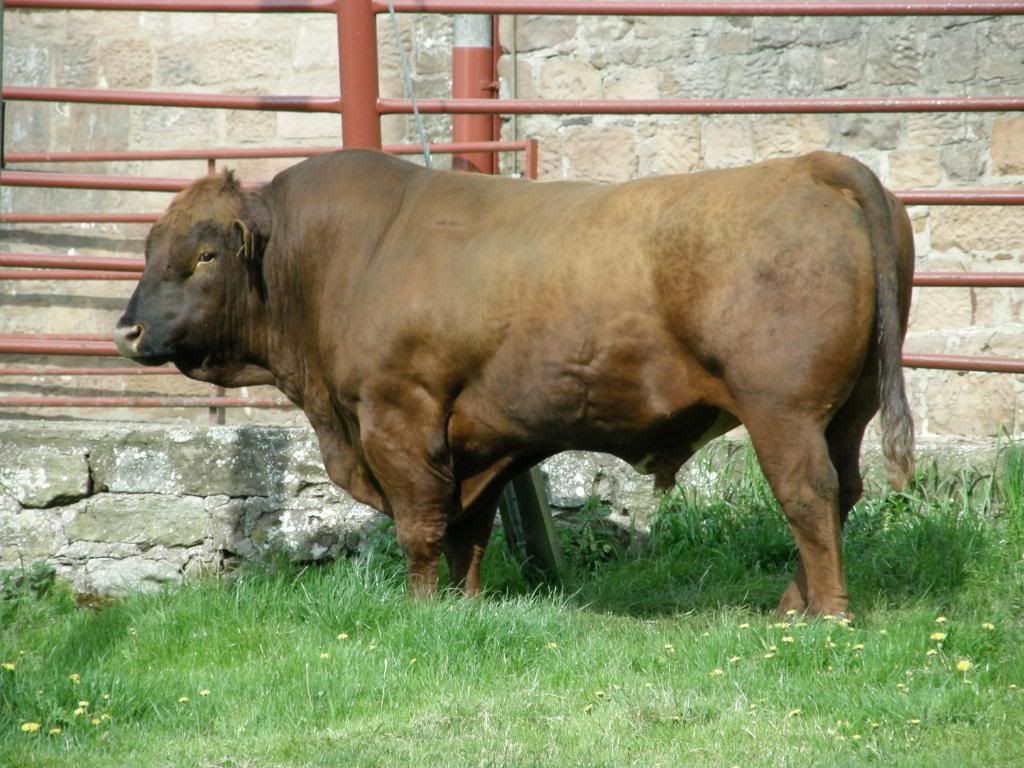
Photobucket
A nice bit of beef

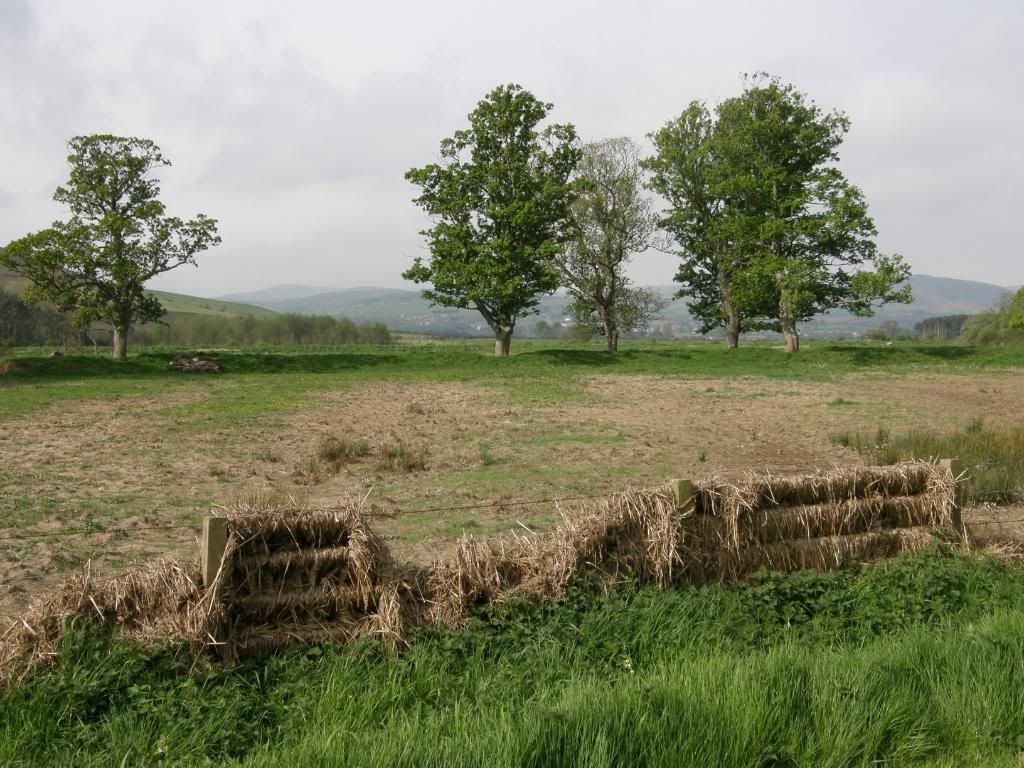
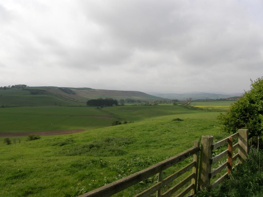
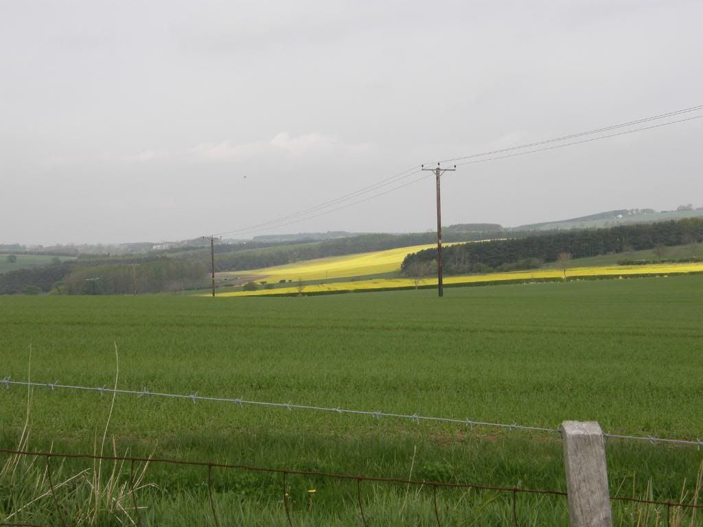
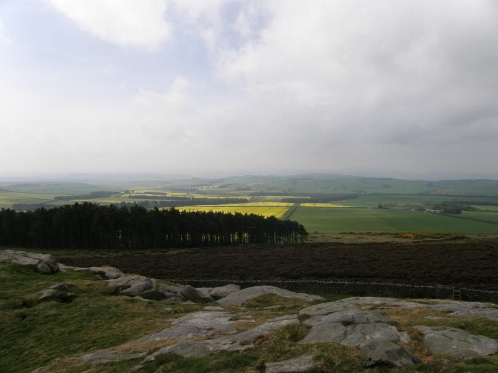
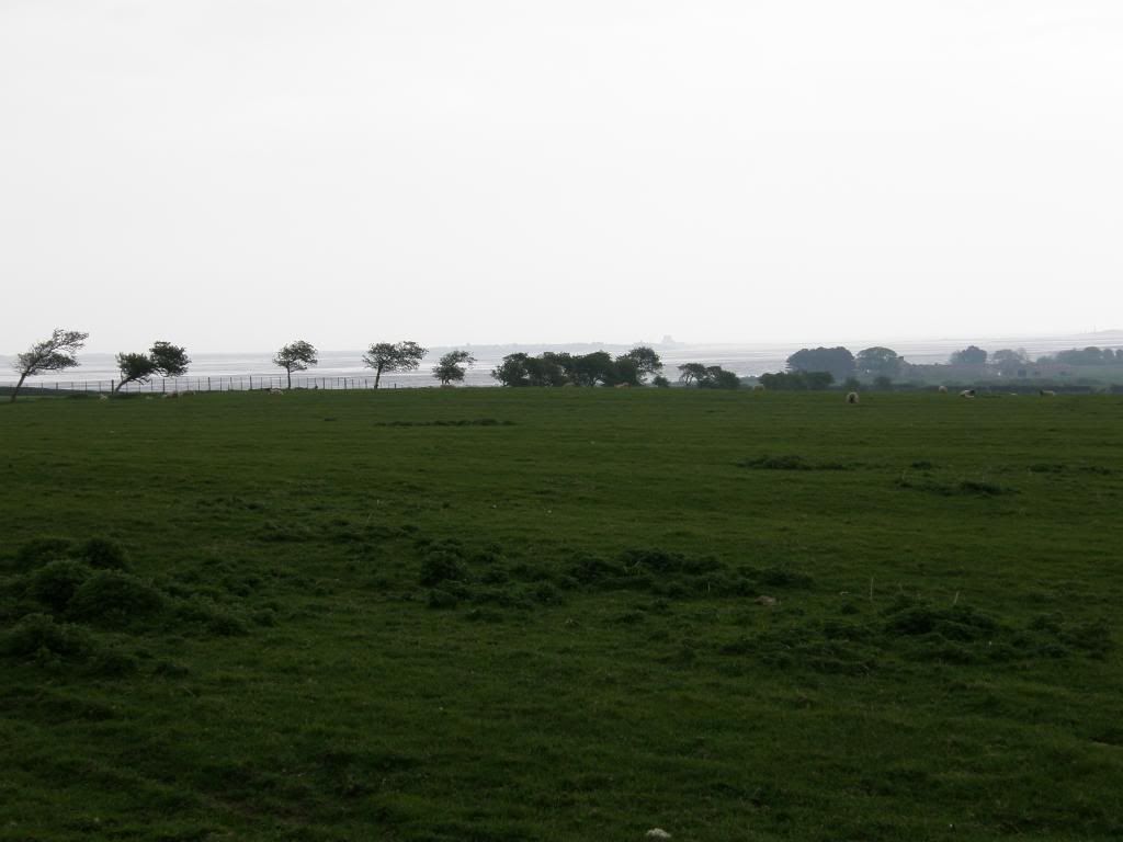
I passed a large farm at West and East Horton, a massive enterprise with much cattle and mooing in the air, and it must have been here a long time as the old ridge and furrow patterns are still in some of the fields. There was a huge prize bull grazing away in a field with muscles nearly as big as my calves – he was a big boy! I was still walking on small roads and making good time – it would have been hard not to, and as I crested a rise close by Town Law it was all gentle undulations downhill to Hetton Burn, with only the ridge of Cockenheugh and Greensheen Hill between me and the North Sea.

Photobucket
A last look at Buttony and beyond to the Cheviots

Photobucket
And the view down and up to the final ridge before the sea

Photobucket
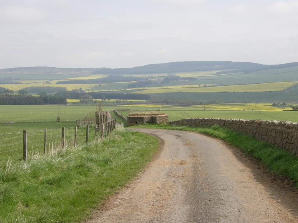
The WW2 pillbox with its turf hat

Photobucket
The start of the walk up to towards St Cuthbert’s Cave

Photobucket
The way passed through many fields today

Photobucket
Plenty of ridge and furrow field patterns

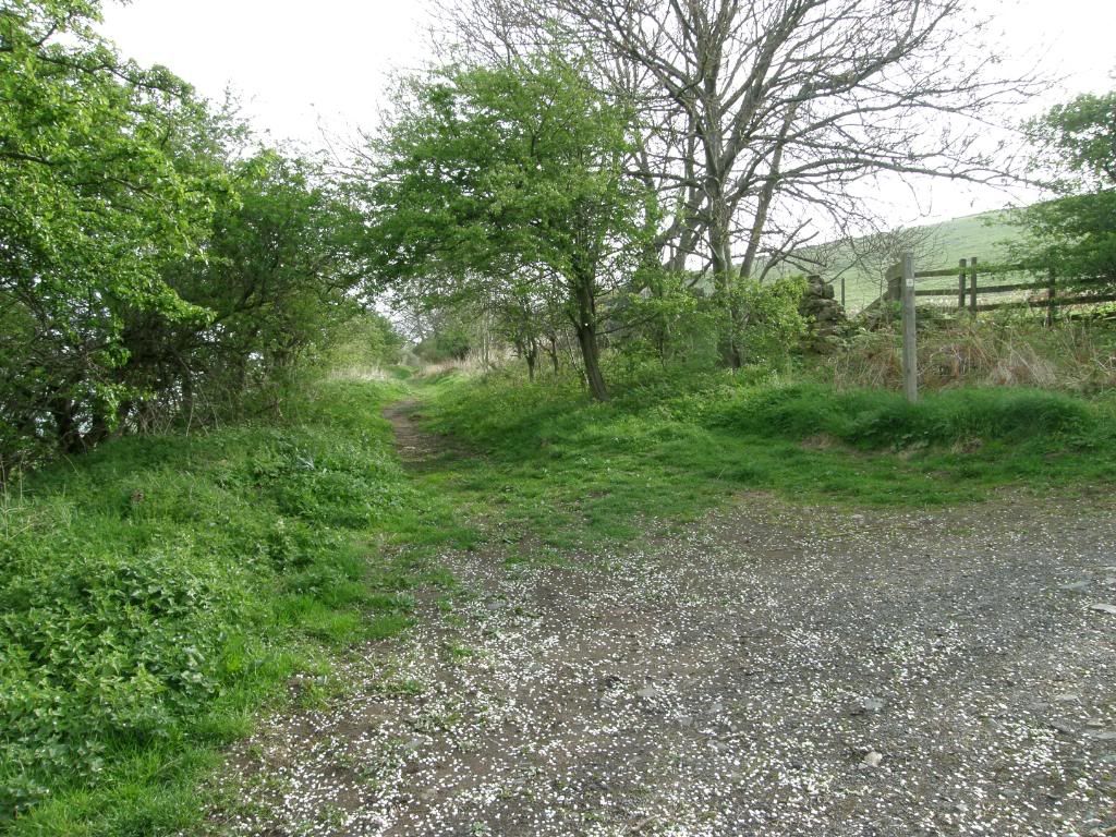
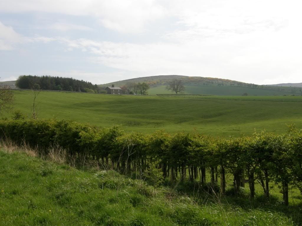
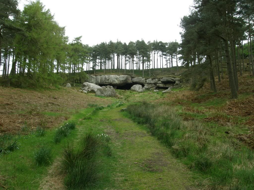
It was a lovely rural scene looking around over the farmland, a tapestry of Yellow Rape Seed Oil crops intermixed with ploughed fields and of course lots of grazing land. I passed by another WW2 pill box set into the side of the farm track, with lookout slots dotted into the concrete all the way around. Like the one up on Buttony it had a nice turf helmet to keep warm in the winter. As I crossed over the small river at the bottom of the hill I took care not to disturb the newborn calves too much and they weren’t interested in me thankfully. There was more ridge and furrow in the surrounding fields and looking up I could see my next point of interest – Bert’s cave. As I steadily moved along the edge of field paths, I could see the rain clouds gathering behind me over the Cheviots – ha ha – I was nice and dry, and quite snug in my merino top thank you. I reached St Cuthbert’s Cave soon enough which is sited just below the crest of a ridge, and it is quite prominent on the hillside. It is surrounded by plantation trees, although they have been thinned out around the location. The cave itself is a natural feature where the softer sandstone has been eroded out, leaving a pillar of sandstone holding up the roof of the cave. I noticed that they have done some cementing around the base of this pillar to stop further wear and tear. It was cold and damp in the interior and the back wall has been filled with much graffiti over the years, alas Bert was ‘ere was not among them. It would make you stiff if you had to stay overnight here, but in Bert’s case he already was anyway.

Photobucket
More rural scenes

Photobucket
St Cuthbert’s Cave high up on the ridge amongst the trees

Photobucket
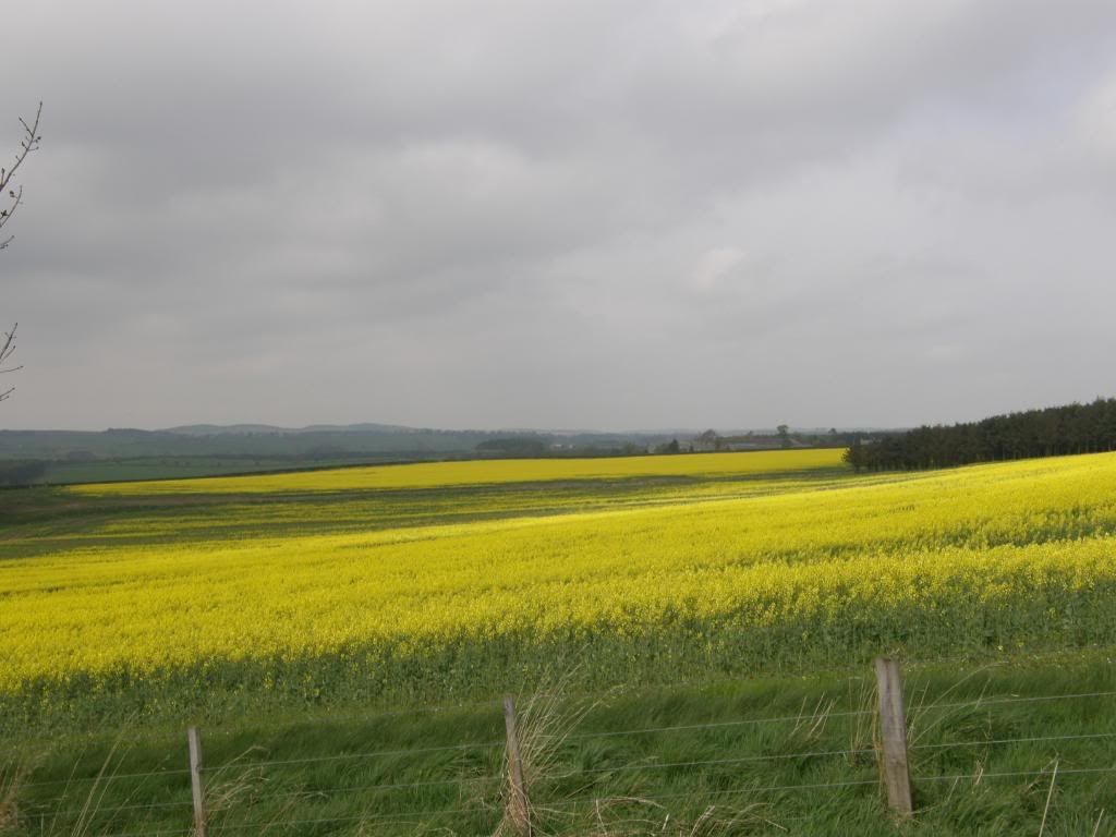
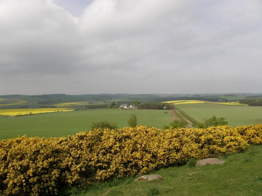
More fields of Rapeseed

Photobucket
Bert’s pad

Photobucket
Looks like something out of alien

Photobucket
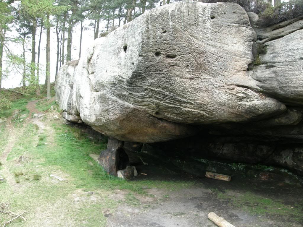
Only a small stump holding up a big lump

Photobucket
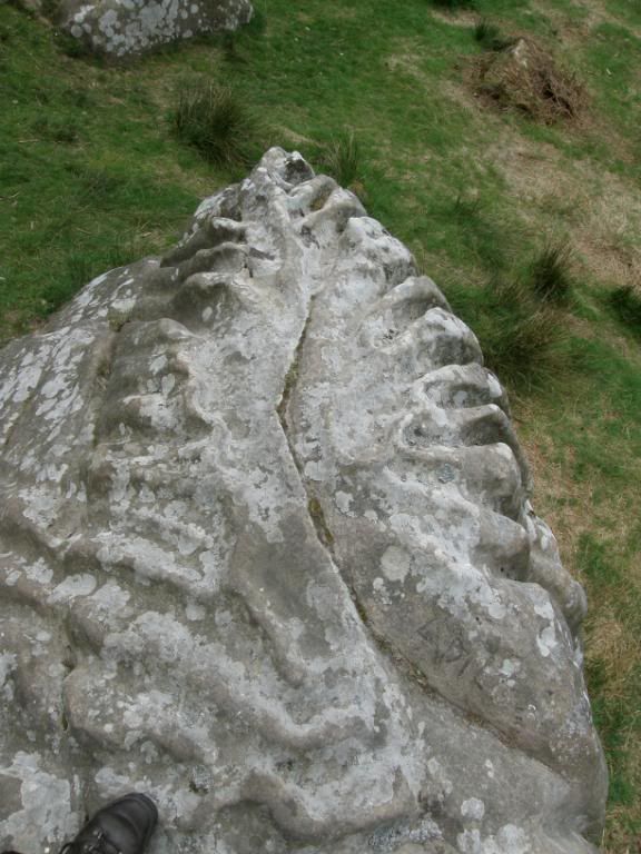
The convoluted bedding at the top of the ridge – perfect for Hula Hoops

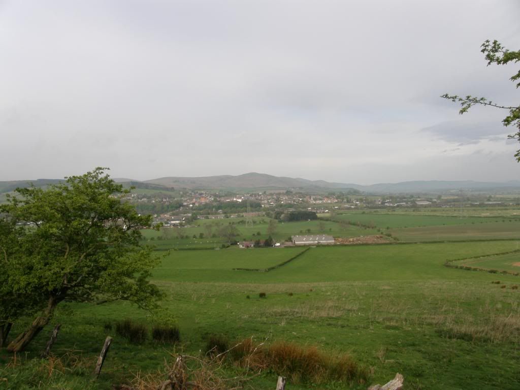
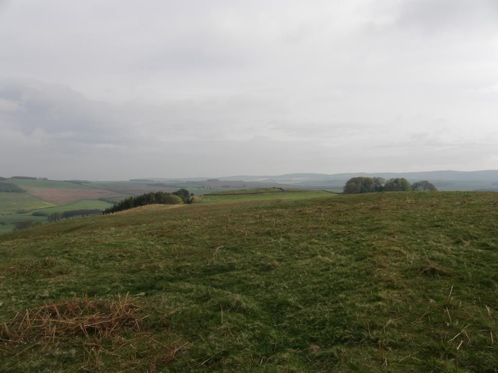
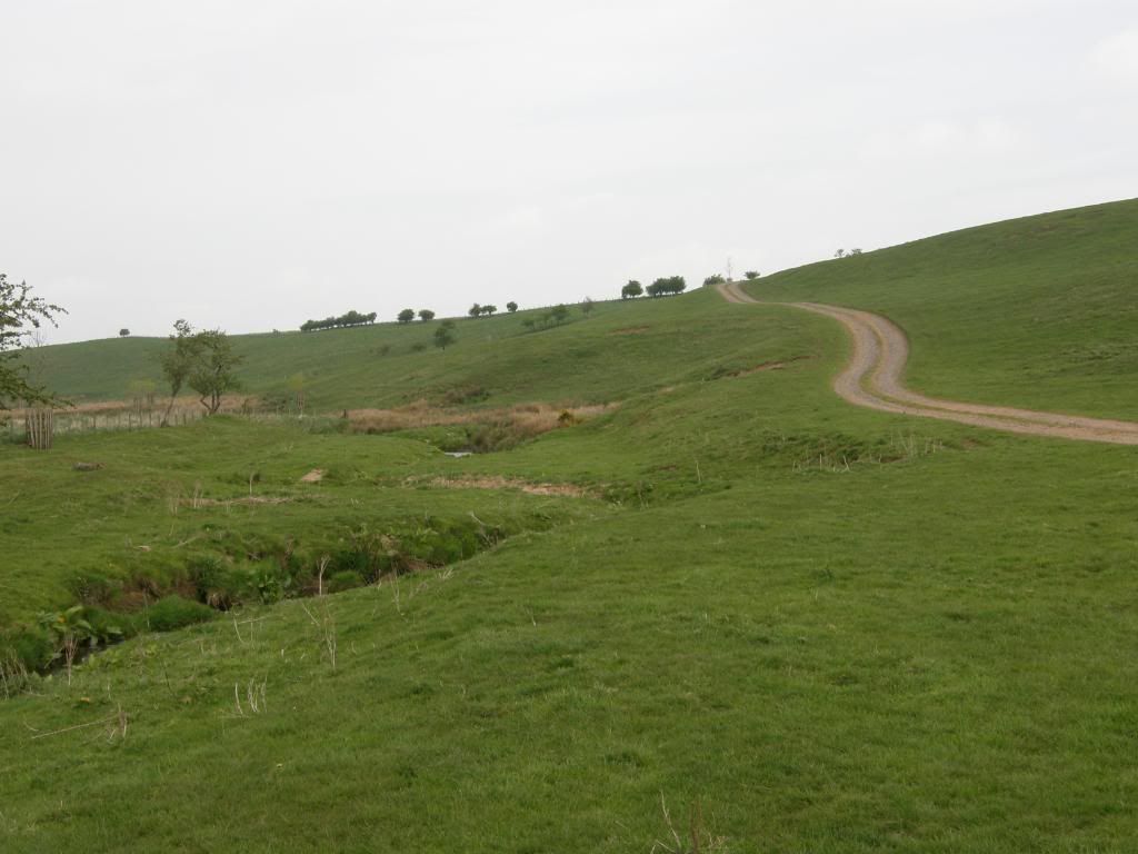
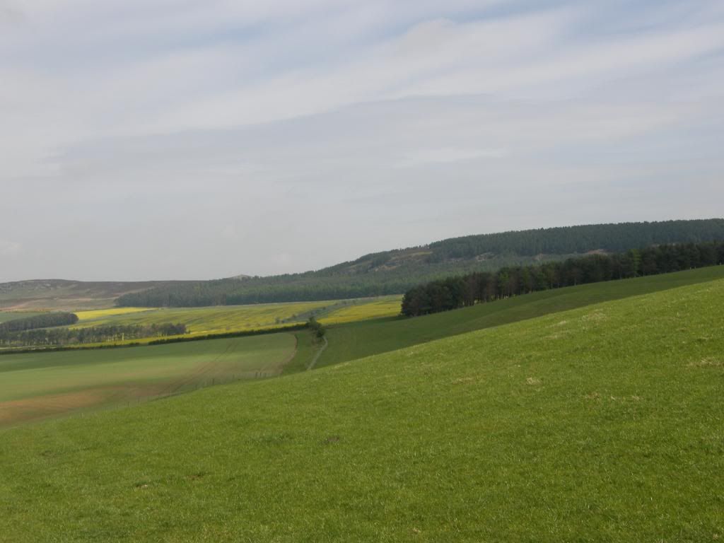
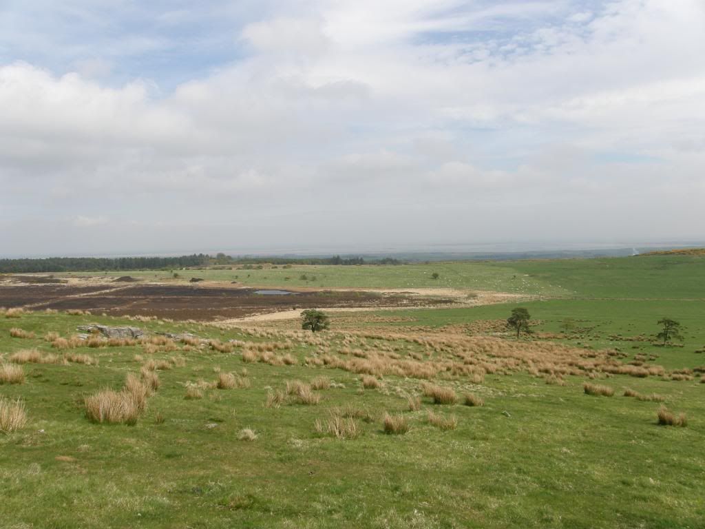
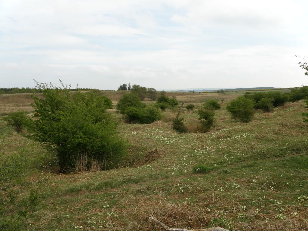
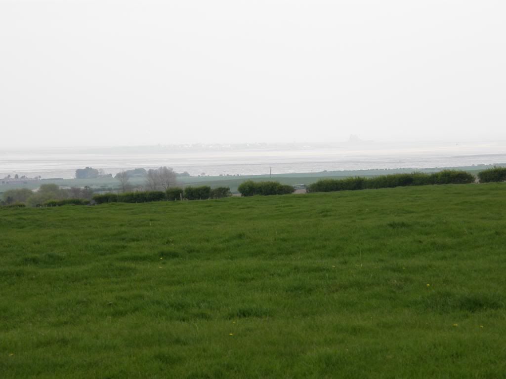
There were also some interesting boulders outside of the cave with some showing signs of erosion that are very similar to the limestone pavements of Malham inYorkshire. The sandstone here is probably calcareous and was worn away by dissolution of the limey bits – probably. There was also some remembrance carved into one of the boulders for a ‘Jennifer Saunders’ – she must have loved the area. Up on the crest of the ridge at Greensheen Hill there is lots of convoluted bedding in the sandstone and it provide a pleasant diversion as I sat out of the wind and had a lunch break. I knew the sea was beckoning behind my back but I had a little rest looking back to where I had walked before setting out for the sea. Once I was suitably refreshed I crested the rise and there it was in the distance, a sticky up lump out at sea – Lindisfarne Castle. The route from here was generally to the North but it did zigzag around for a little, and after crossing some fields I came to some very disturbed ground. It looked like a series of small pits all in a jumble and these must be the old coal workings mentioned on the explorer maps. Each of the pits seems to have a tree growing out of them – must be the rainwater that collects in the hollows? The route continues into a managed forest, which provided good paths in the main and some interest unlike the usual pine plantations, although it was a little tight through some of the gorse patches.

Photobucket
Farewell Wooler and beyond

Photobucket
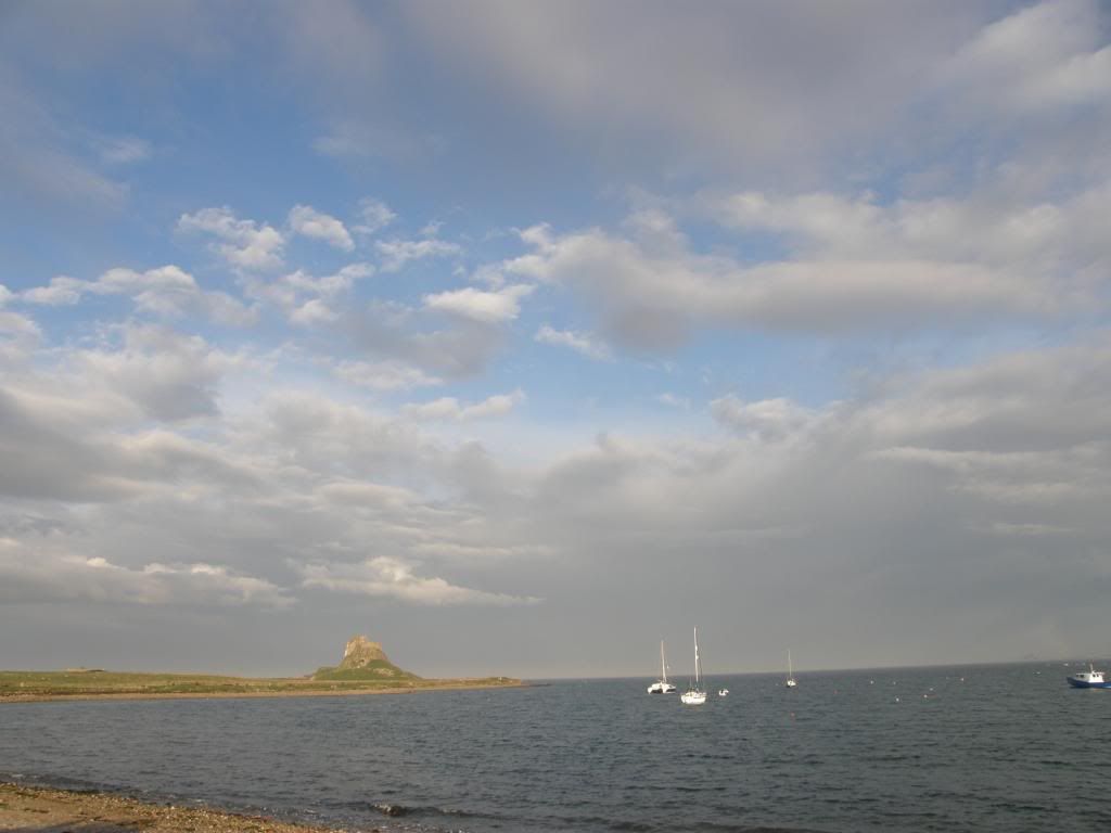
And on the other side Holy Island appears faintly in the distance

Photobucket
The old coal holes
Photobucket
Deep in the managed woods

Photobucket
Getting nearer to my destination

Once I was out of Shiellow Woods, the path skirted around the edges and passes by some old earthwork enclosures at Herd’s House. Once out of the woods it was now more road work as the views opened up towards the coast – I couldn’t smell the sea but I could see the sea. I took a little detour around an old farmstead at East Kyloe, and luckily there was some old field patterns and the remains of an old tower to look at – this was a small error of judgement on my part, as I wasn’t paying attention to the waymarkers, and it added on an extra ½ mile or so. I plodded on along the road towards Fenwick and could hear the roar of the A1 occasionally, so I practised a little run lest I got caught in the traffic – not so easy with walking boots on and weary legs. But I made it across OK, and if you are up this way make sure you are in the clear because the traffic does whizz along here. Shortly after crossing over the A1 I passed by Fenwick Granary, an old farm spread with some grand buildings which is falling into a state of dilapidation, and then onwards up a small rise which led me to views over to Holy Island and Lindisfarne Castle. It wasn’t far now to the coast and the start of the causeway and my pace quickened through the fields down towards the east coast high speed train track. Luckily for me two trains zoomed past me minutes before I got to the track, so I could cross safely in the knowledge that the fast trains had already gone. There is a phone which you should use to call the signalman, and if in doubt you should use it.

Photobucket
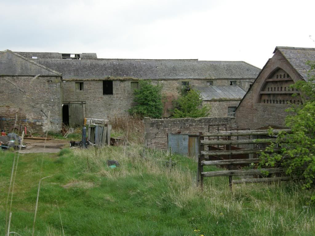
The old Fenwick granary

Photobucket
I could see the castle now

Photobucket
And I could smell the sea at last

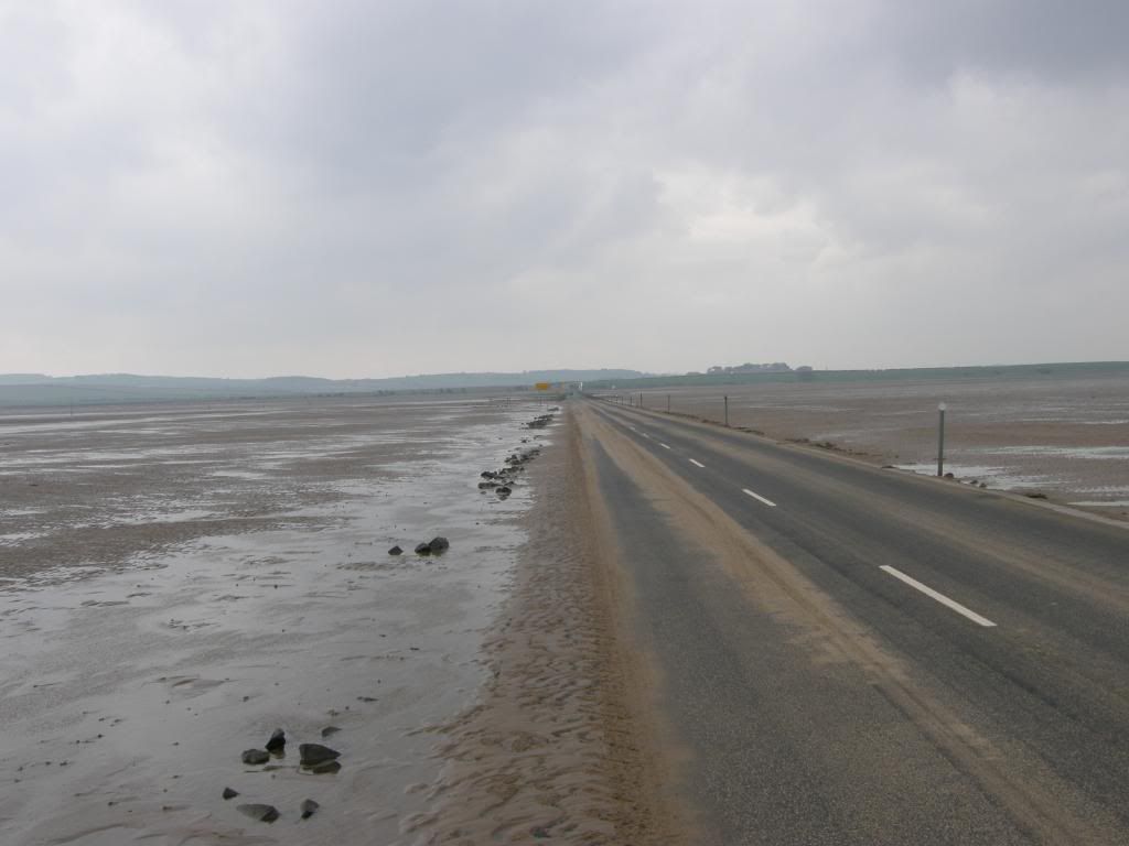
The smell of the sea was getting stronger the closer I got and I crossed over a large tidal channel and onto the mud flats / sea marsh. A line of big concrete blocks led to the start of the causeway across to the island, and a big tide table and posters warning of the dangers here. There were lots of people stopping to look at them, with some turning tale and many others going across for a quick glimpse before turning around for the return journey. The line of posts marking the Pilgrims Path didn’t tempt me to dip my feet – too cold and wet. I walked quickly past a refuge and put my head down into the wind, I wouldn’t fancy a night stranded in one of these – cold and wet. The last few miles across the causeway seemed never ending and a succession of cars passed me on their way back to the mainland. But it did end and once I was level with the sand dunes I knew I was OK – I knew was OK anyway as it wasn’t yet 5pm.

Photobucket
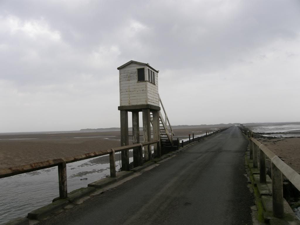
One of the refuge along the tidal part of the road

Photobucket
It was a slog against the wind along here

Photobucket
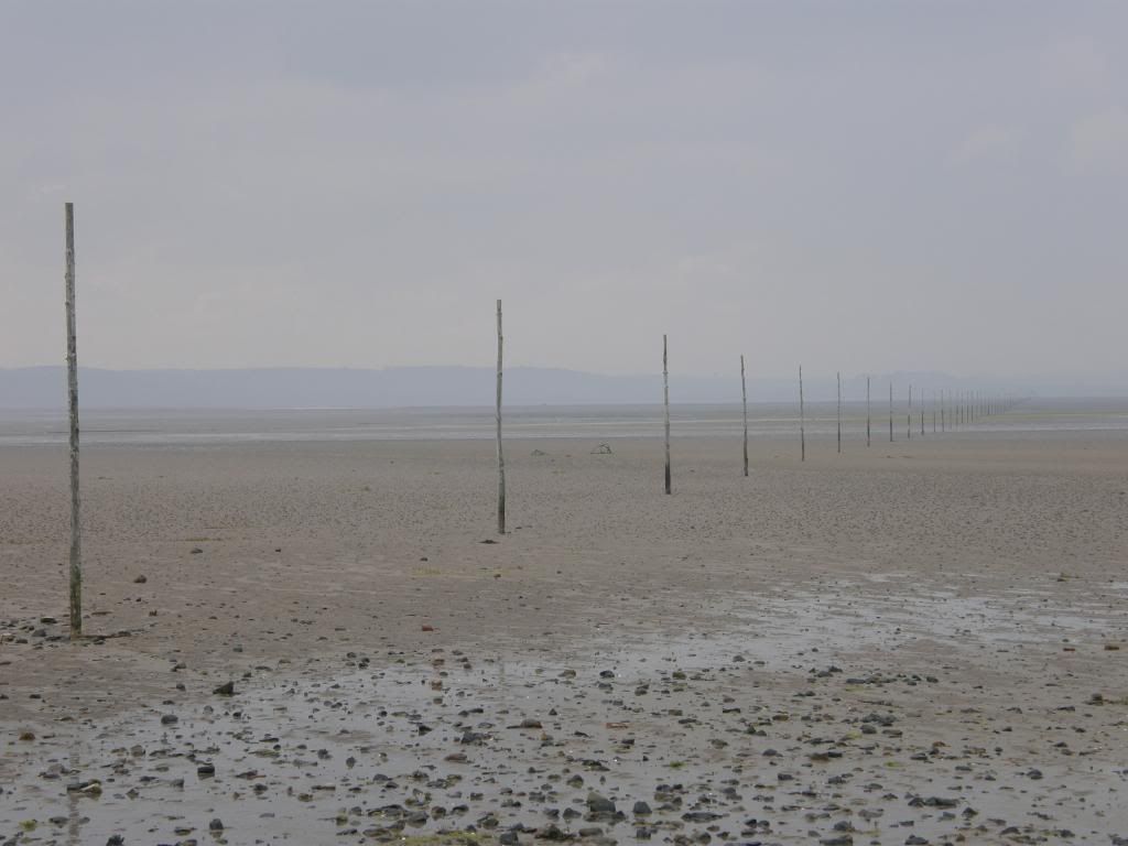
The end of the Pilgrims path

Photobucket
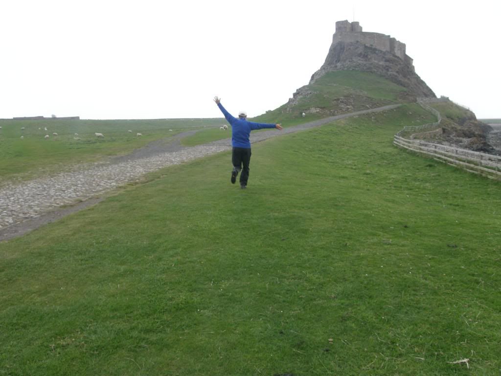
20 miles and running....just

Photobucket
What a wonderful end to my journey

Photobucket
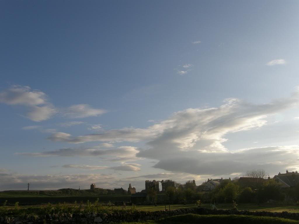
The abbey remains lit by a setting sun

As I walked into town I met my wife walking the other way, and we walked together back to the B&B. After dumping my bag and a quick cup of tea, we set off to end the walk at Lindisfarne Castle in a cold breeze, but with a smile on my face and 20miles on my GPS – a fitting end to a great little walk. We arrived at the castle just in time for a look around and as we stood in one of the rooms the local NT warden said to me "this is the Ship Room". Well I am a little hard of hearing at times but I didn’t think it was that bad. Walking back to the B&B we saw some Sand Martins at the side of the path picking up mud for nest building, and after a quick shower I walked back around to take some pictures of the castle in the setting sun – there was a healthy glow about the place – but enough about me the castle didn’t look bad either. Brilliant.

Monday, May 11, 2009

St Cuthbert's Way - Day Three

Day Three: 29th April 2009.
Weather: A glorious day, perfect for walking – mainly sunshine and breezy
Kirk Yetholm to Wooler: 13.5 miles and 3 more on Doddington Moor

After a lovely breakfast, I stoked up on carbs – we appeared to be the only guests, so service was pretty quick. The cat knocked on the window but he settled down to sunbathe despite the nip in the air, so I wore my merino base top today as the forecast was mixed. I sorted out my kit, strapped on the umbrella to ward off any chance of rain, and strode out into morning sunshine at 9:30. Today was the shortest day of the 4, but I planned to go and look for some rock art later on. The air was crisp as I departed from the Border Hotel and started up the hill on the Pennine Way / St Cuthbert’s Way – I wasn’t tempted to turn right and continue down to Manchester when the paths parted in a mile or so. Up through the village I passed by a pair of donkeys who faintly ee-orred me, they were stood opposite the gypsy palace – a small cottage amongst a row of many.

Photobucket
And were off...uphill past the donkeys

Photobucket
Over the first crest and looking across to the Pennine Way

The weather was absolutely perfect and as this was a short day I dawdled along for the first mile uphill enjoying my surrounds and demolishing another tube of fruit pastilles – I really must give these up when I’m out walking. I had a look back over the valley below over Bowmont Water and the Yetholm twins nestling down there in the sun – nice. Once I was at the top of the hill and over the crest, the landscape called me back from my musings and I had a good look around at the surrounding hills – majestically round, and remote. I could already see the signs of old hill forts all around, with the earth ramparts a telltale sign. A little further down the road over the cattle grid led me to open pasture, soft grass and a steady climb up past Green Hambleton. The route was marked by the usual wooden posts and up ahead I could see the sign where St Cuthberts Way and the Pennine Way part company. I stood and faced to the south where the PW runs away over The Schil and pondered if I would ever walk down the PW – if I do I might be 72 (I should be so lucky). I looked back into the far distance and could just about make out the Eildon Hills from the start of the walk; this was by far the clearest day which was just as well because it had the best views as well.

Photobucket
Looking back to the start over the far hill

Photobucket
St Cuthbert’s Way departs from the Pennine Way

Photobucket
Wideopen Hill from yesterday is peeking over on the left

Photobucket
The way ahead...Hillfort valley

The gradient eased as I got further to the watershed and I took a breather at the top as my vista was now a valley dominated by hill fort topped summits laid out before me and stretching into the distance towards my destination. A great peace descended on me with only the sheep and birds for company, and I felt every hilltop looking down on me from the old fort ramparts – a total of 9 to the north and south of the way. The route drops downhill through a dark thickly planted forest of pine, and light was scarce as was the route. It winds through the trees but it is easy to lose track of the path, but easy enough to find again as it drops to the valley floor and follows along by the side of Elsdon Burn. There were lots of brand new born lambs lying around – directly on the path, and nature’s dustbins – the crows were clearing up the leftovers. After reaching the farm the walk continued along a metalled road all the while passing forts high on the hills and some cultivation terraces along the valley sides. The valley gathers the burns and sikes before joining the College Burn further down. About a mile and half past the farm I passed by some superbly preserved medieval field terraces to the north side of the valley, and I took some time to walk up a little way to get a closer look. They are amazingly flat, about 5m wide and disappear up the hillside in a series of steps, incredible that they still exist after all this time.

Photobucket
I had to step wide of this lot after the dark forest

Photobucket
Yeavering Bell at the end of the valley ahead

Photobucket
Lovely and peaceful down in the valley

Photobucket
The old field system terraced up the hillside

Photobucket
And looking back up to the head of the valley

Photobucket
The College valley

Photobucket
The College Burn

The local Sheppard and his collie were patrolling the slopes on a quad bike and looking at the newborn lambs, checking that all was well, before moving on to another area. The road turns south just before Hethpool – a small hamlet with a row of neat cottages, a fine looking old hall and the remains of a peel (pele?) tower. At this point the College Valley intrudes from the south looking very inviting as I crossed the College Burn, but my route was to the North West and the gradient gently rose as I made my way towards the biggest hillfort in Northumberland – Yeavering Bell. There was evidence of past settlement along these slopes with many jumbles of stone lying around, and some enclosures. A couple of sheep were busy butting each other down in a dell, surrounded by sweet smelling gorse, with an audience of three small lambs – a disgraceful example to the younger generation – and it sounded painful as well. As I reached up towards the col between Yeavering Bell and Easter Tor I finally met two walkers (they weren’t doing Bert’s Way though) and stopped for a good chat while they were grazing away on a sandwich – I didn’t have lunch today as it was a short one. In four days of walking I only met about 10 people and none of them were doing Bert’s Way – strange but I didn’t mind really.

Photobucket
Abundant and sweet flowering Gorse

Photobucket
There are two sheep butting – not one long one

Photobucket
Looking back to Colsmouth Hill in the distance

Photobucket
An old settlement and enclosure looking north to Kilham Hill in the distance

Photobucket
A last look back before walking up past Yeavering Bell

Photobucket
Yeavering Bell

Photobucket
You can see the ramparts around the top of this cheeky hill

Photobucket
A really last look back at today’s journey – fort fantastic mate

I walked past a bizarre four finger signpost – usually they are about 6ft tall, but this one must have sunk or there are a lot of dwarves walking along here as it was only 2ft high (no offence meant to our short friends or the Scots or anyone else I might offend on these pages – sheep don’t count they can’t read). The climb up past Yeavering Bell reaches the top near to Tom Tallon’s Crags, and from here the route took me across some delightful moorland. This was obviously well managed grouse moors that had been systematically rejuvenated by burning off regular patches of heather. It gave the moors a beautiful patchwork appearance, with all shades of colour, but I only saw a few black grouse breaking cover now and again. It was a little boggy in places but I was lucky it had been dry for sometime, and I could easily hop along the reed clumps to stay dry. The Cheviot was prominent to my right and it was good to see in the sun as it is usually cloud covered at 815m. I am planning a coast to coast route next year that passes by here and it was good to see the lay of the land – I’ll definitely hope for dry weather again. The walk along the top here was exposed and I got a good buffeting from the wind, but it was easy striding along the good paths – balmy, windy, and wonderful. There are shooting butts in a long line across the moor, but the cheapskates couldn’t be bothered to blend them into the landscape and they look like a series of fence panels all in a line – pah. It is about 2 ½ miles along the moorland path before reaching Hambleton Hill and the start of the descent down to Wooler.

Photobucket
The Cheviot is the big boy

Photobucket
Beautiful patchwork moorland

Photobucket
Wooler is just over the hill

Photobucket
There it is below Wooler common

Photobucket
The last hillfort of today – Hambleton Hill

Photobucket
A little uppy before Wooler Common

Photobucket
Nearly there

The route winds down and around Wooler Common, through a patch of woodland before climbing once more over lumpy bumpy hillfort land at the Kettles Fort. Then it was out onto a farm track that leads down to housing on the outskirts of Wooler. A short walk down led me to the high street and my B&B for the night – aggh lunchtime in the middle of the afternoon. I dropped my pack off and had a lovely chilli chicken baguette with a pot of Earl Grey tea before my chauffeuse whisked me off to Doddington Moor to look for some Neolithic rock art. We walked up to the golf club to look for the main panel high up on the moor and asked an old couple where it was. They kindly told us it was up at the top beyond a bench and next to a fairway in the rough – that saved a huge amount of time wandering around looking for it. It is positioned between the two earthworks of the summit of Dod Law and it is difficult to make out all the details unless the panel is wet – but then it would be raining. As at Buttony this rock art is in view of the Cheviots and it is amazing to think it is so old – probably about 5000yrs and it looks like a games compendium!

Photobucket
The main panel on Dodd Law

Photobucket
A celestial bit of sunlight to end the day – a majestic setting

We walked back down the moor and passed by the quarry where I saw another different type of cup and ring mark – smaller but well formed, a perfect end to a wonderful day....again. We retired to the local Italian restaurant Milan and I had a huge plate of pasta to stoke up the engine before the final day of reckoning, and a sarnie and packet of Hula Hoops for my lunch – yum.

Photobucket
A wee one – looks like a wine glass with bubbles on top

About Me

My photo
Enjoying life. Work in Norway, walk anywhere.

Followers