Weather: A glorious day, perfect for walking – mainly sunshine and breezy
Kirk Yetholm to Wooler: 13.5 miles and 3 more on Doddington Moor
After a lovely breakfast, I stoked up on carbs – we appeared to be the only guests, so service was pretty quick. The cat knocked on the window but he settled down to sunbathe despite the nip in the air, so I wore my merino base top today as the forecast was mixed. I sorted out my kit, strapped on the umbrella to ward off any chance of rain, and strode out into morning sunshine at 9:30. Today was the shortest day of the 4, but I planned to go and look for some rock art later on. The air was crisp as I departed from the Border Hotel and started up the hill on the Pennine Way / St Cuthbert’s Way – I wasn’t tempted to turn right and continue down to Manchester when the paths parted in a mile or so. Up through the village I passed by a pair of donkeys who faintly ee-orred me, they were stood opposite the gypsy palace – a small cottage amongst a row of many.
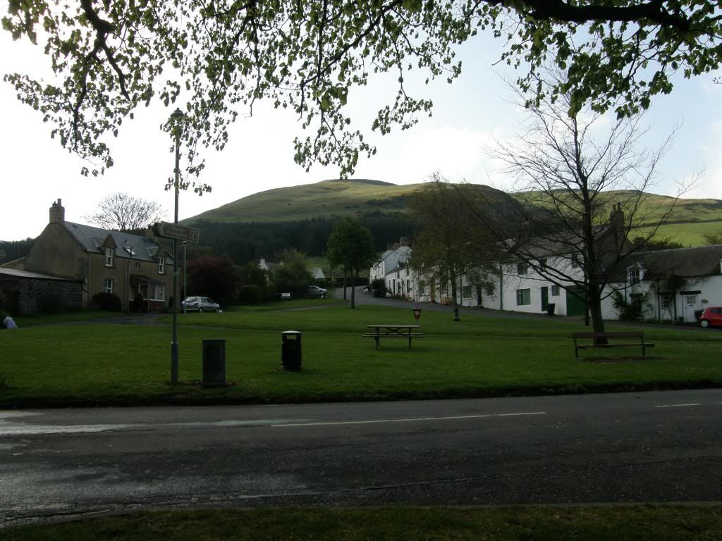
And were off...uphill past the donkeys
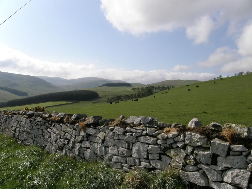
Over the first crest and looking across to the Pennine Way
The weather was absolutely perfect and as this was a short day I dawdled along for the first mile uphill enjoying my surrounds and demolishing another tube of fruit pastilles – I really must give these up when I’m out walking. I had a look back over the valley below over Bowmont Water and the Yetholm twins nestling down there in the sun – nice. Once I was at the top of the hill and over the crest, the landscape called me back from my musings and I had a good look around at the surrounding hills – majestically round, and remote. I could already see the signs of old hill forts all around, with the earth ramparts a telltale sign. A little further down the road over the cattle grid led me to open pasture, soft grass and a steady climb up past Green Hambleton. The route was marked by the usual wooden posts and up ahead I could see the sign where St Cuthberts Way and the Pennine Way part company. I stood and faced to the south where the PW runs away over The Schil and pondered if I would ever walk down the PW – if I do I might be 72 (I should be so lucky). I looked back into the far distance and could just about make out the Eildon Hills from the start of the walk; this was by far the clearest day which was just as well because it had the best views as well.
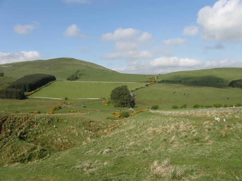
Looking back to the start over the far hill
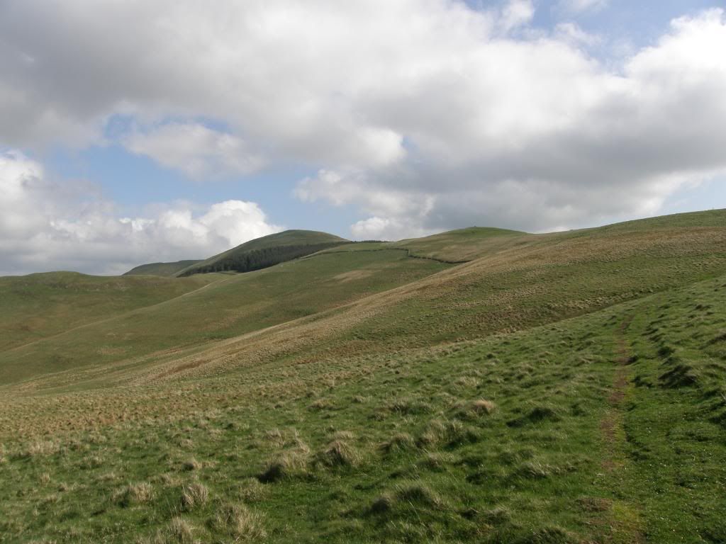
St Cuthbert’s Way departs from the Pennine Way
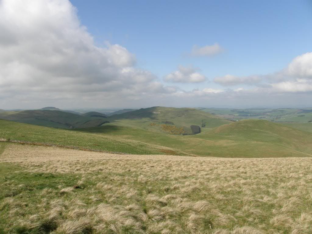
Wideopen Hill from yesterday is peeking over on the left
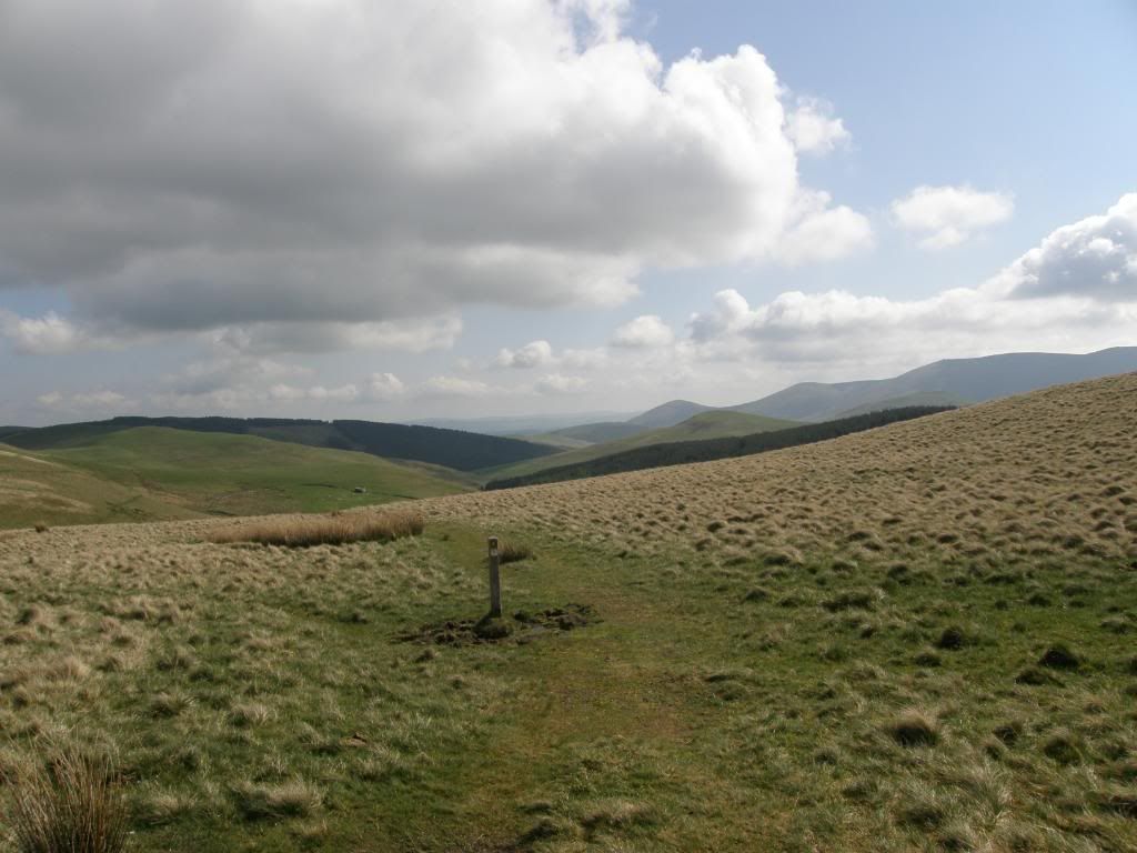
The way ahead...Hillfort valley
The gradient eased as I got further to the watershed and I took a breather at the top as my vista was now a valley dominated by hill fort topped summits laid out before me and stretching into the distance towards my destination. A great peace descended on me with only the sheep and birds for company, and I felt every hilltop looking down on me from the old fort ramparts – a total of 9 to the north and south of the way. The route drops downhill through a dark thickly planted forest of pine, and light was scarce as was the route. It winds through the trees but it is easy to lose track of the path, but easy enough to find again as it drops to the valley floor and follows along by the side of Elsdon Burn. There were lots of brand new born lambs lying around – directly on the path, and nature’s dustbins – the crows were clearing up the leftovers. After reaching the farm the walk continued along a metalled road all the while passing forts high on the hills and some cultivation terraces along the valley sides. The valley gathers the burns and sikes before joining the College Burn further down. About a mile and half past the farm I passed by some superbly preserved medieval field terraces to the north side of the valley, and I took some time to walk up a little way to get a closer look. They are amazingly flat, about 5m wide and disappear up the hillside in a series of steps, incredible that they still exist after all this time.
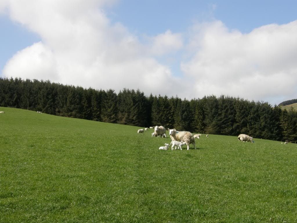
I had to step wide of this lot after the dark forest
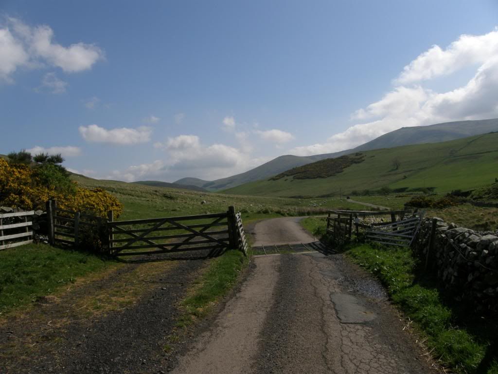
Yeavering Bell at the end of the valley ahead
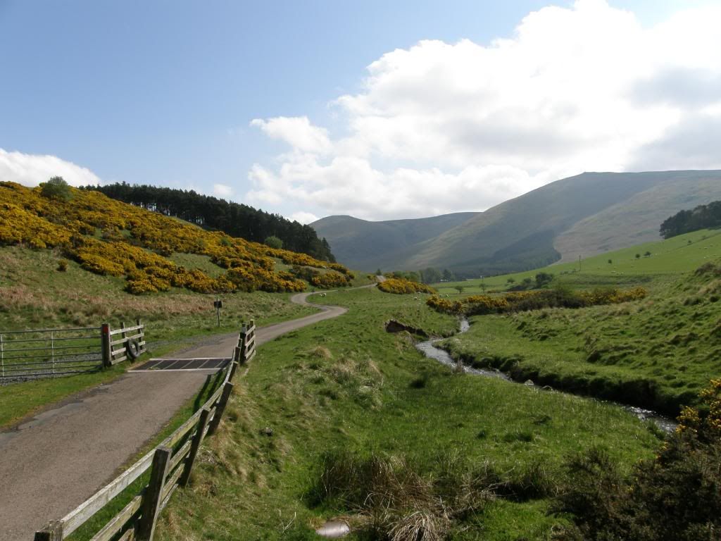
Lovely and peaceful down in the valley
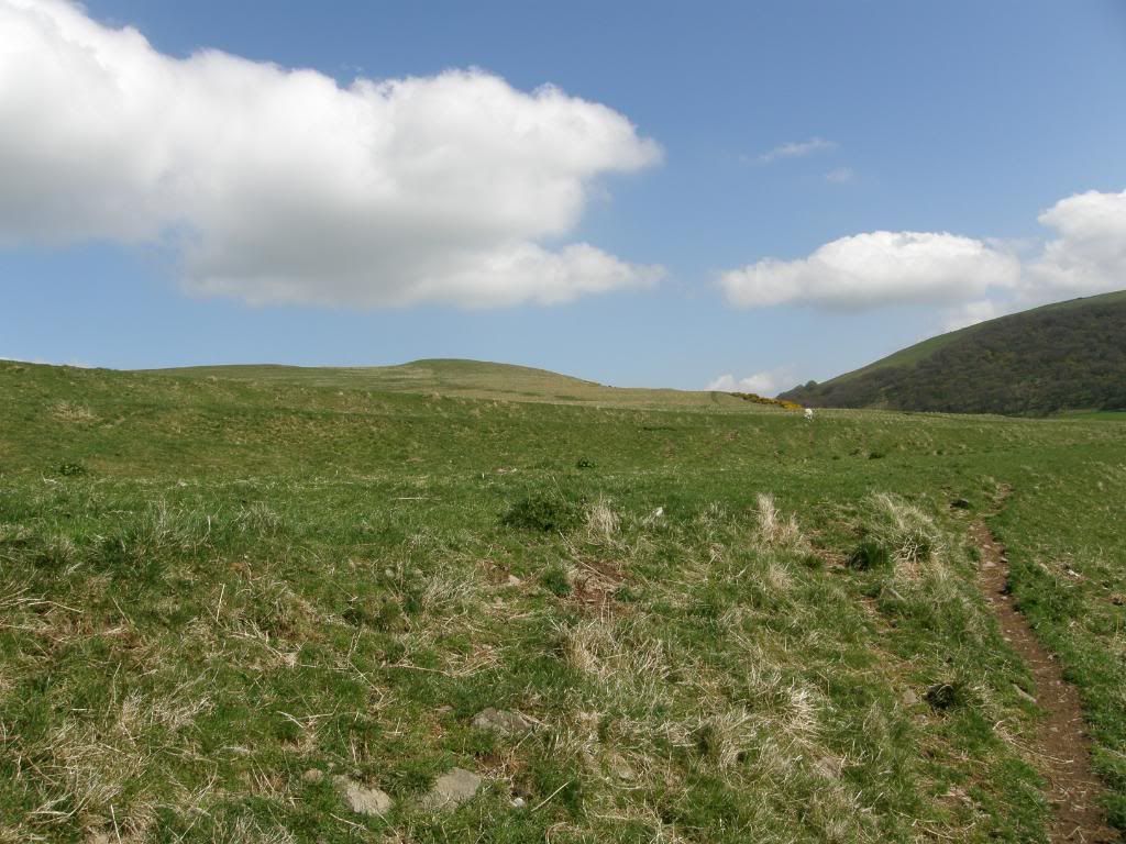
The old field system terraced up the hillside
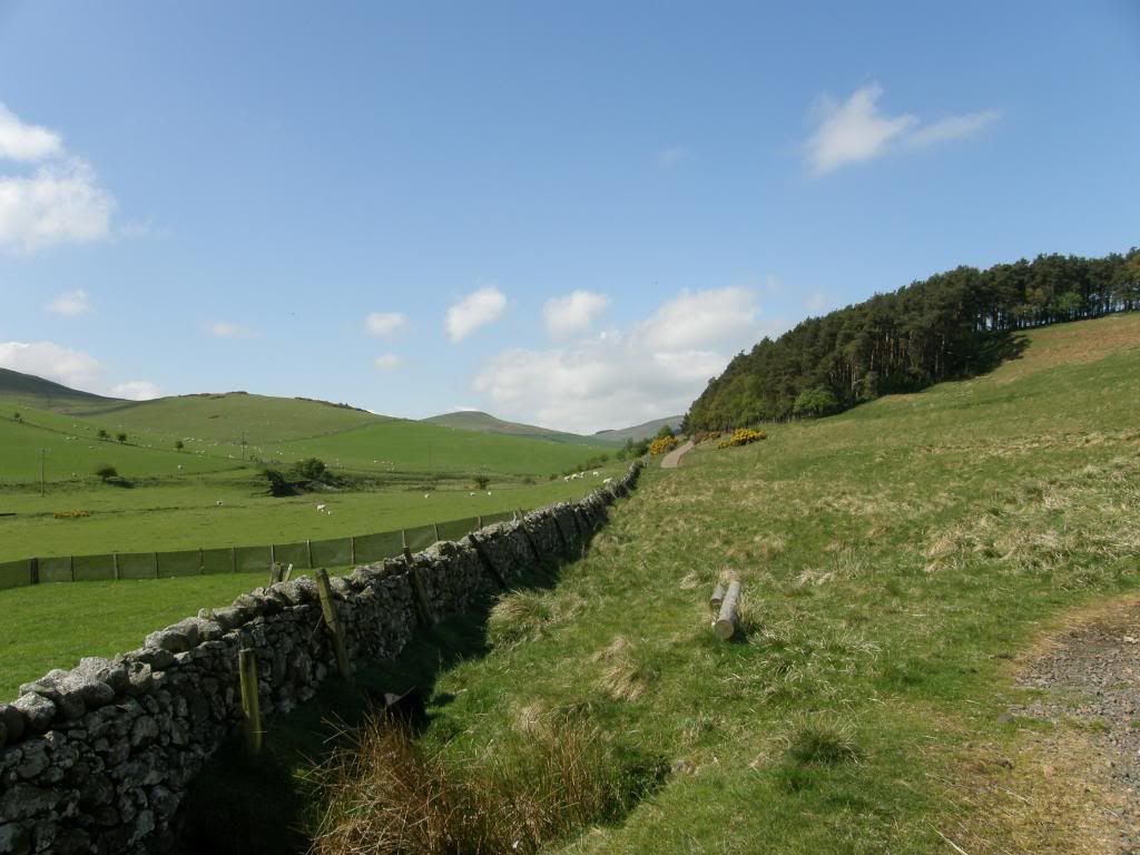
And looking back up to the head of the valley
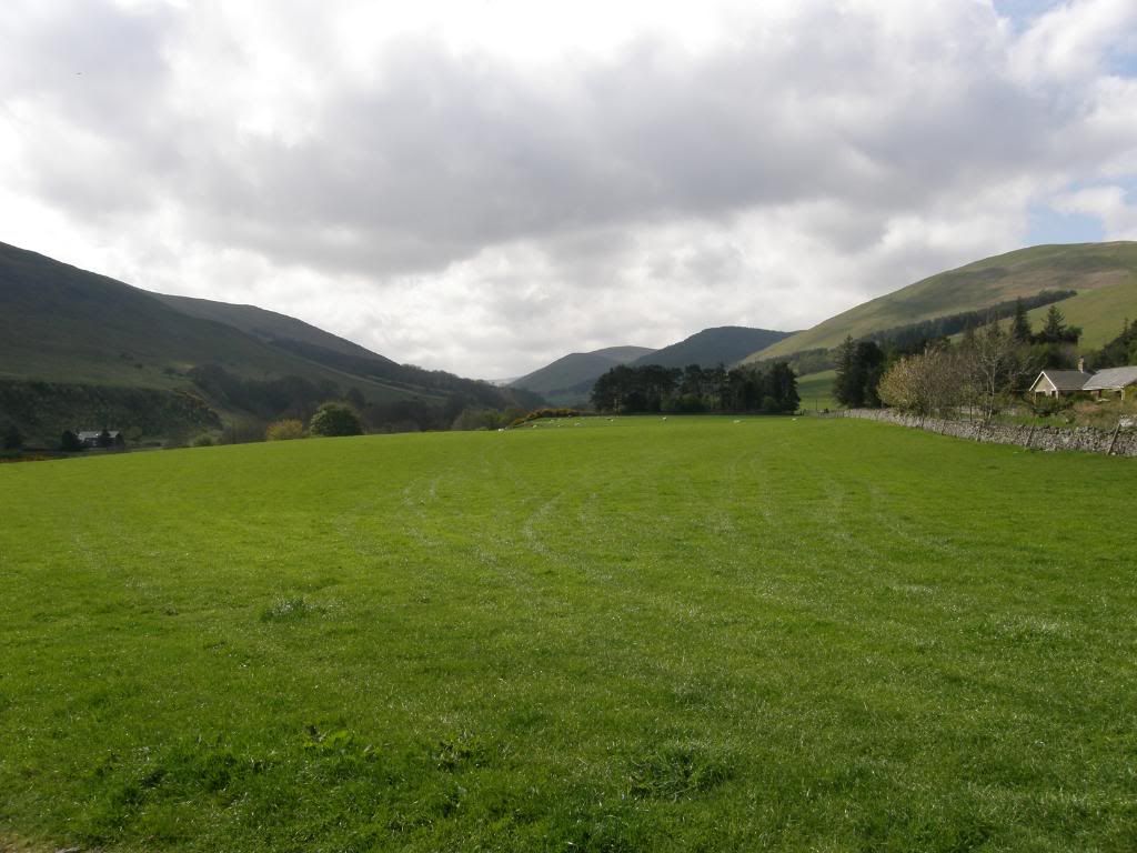
The College valley
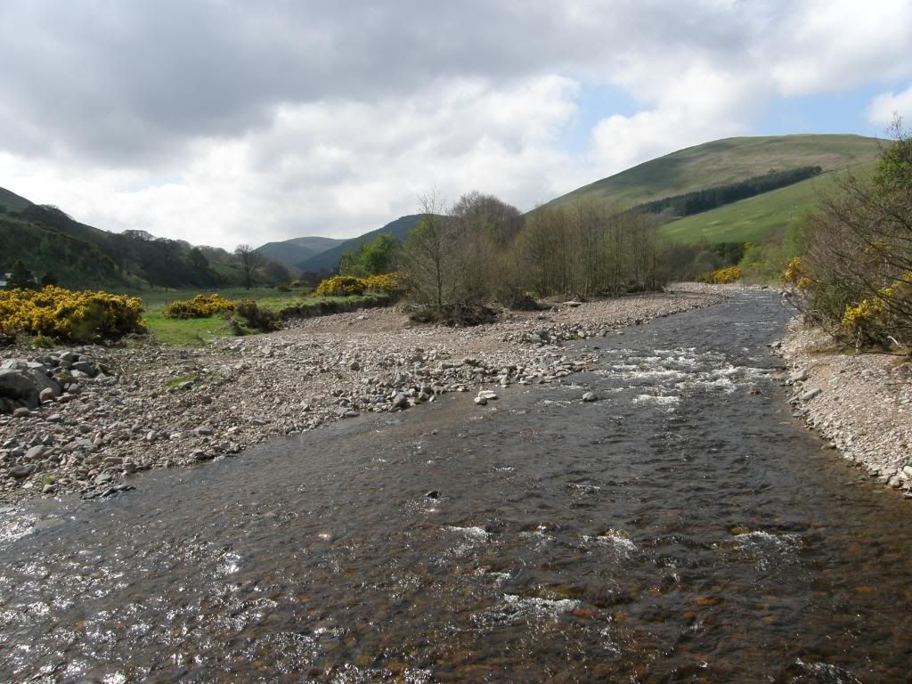
The College Burn
The local Sheppard and his collie were patrolling the slopes on a quad bike and looking at the newborn lambs, checking that all was well, before moving on to another area. The road turns south just before Hethpool – a small hamlet with a row of neat cottages, a fine looking old hall and the remains of a peel (pele?) tower. At this point the College Valley intrudes from the south looking very inviting as I crossed the College Burn, but my route was to the North West and the gradient gently rose as I made my way towards the biggest hillfort in Northumberland – Yeavering Bell. There was evidence of past settlement along these slopes with many jumbles of stone lying around, and some enclosures. A couple of sheep were busy butting each other down in a dell, surrounded by sweet smelling gorse, with an audience of three small lambs – a disgraceful example to the younger generation – and it sounded painful as well. As I reached up towards the col between Yeavering Bell and Easter Tor I finally met two walkers (they weren’t doing Bert’s Way though) and stopped for a good chat while they were grazing away on a sandwich – I didn’t have lunch today as it was a short one. In four days of walking I only met about 10 people and none of them were doing Bert’s Way – strange but I didn’t mind really.
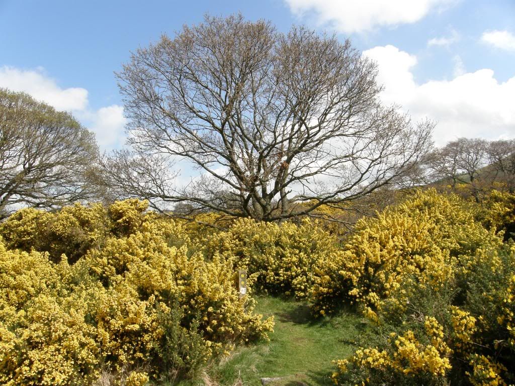
Abundant and sweet flowering Gorse
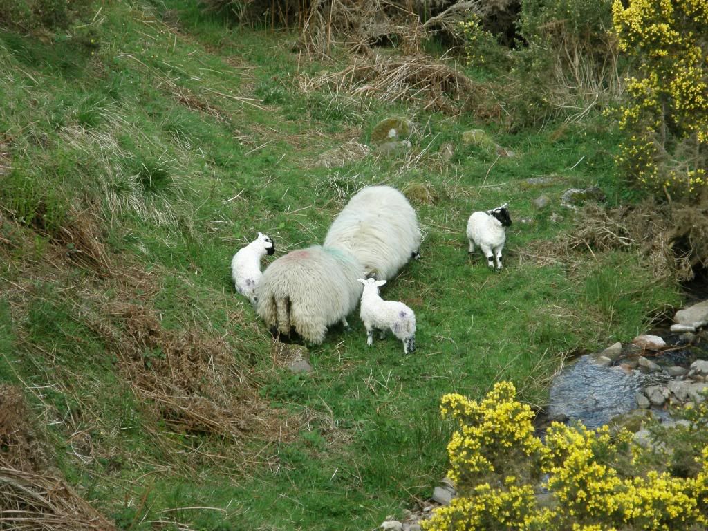
There are two sheep butting – not one long one
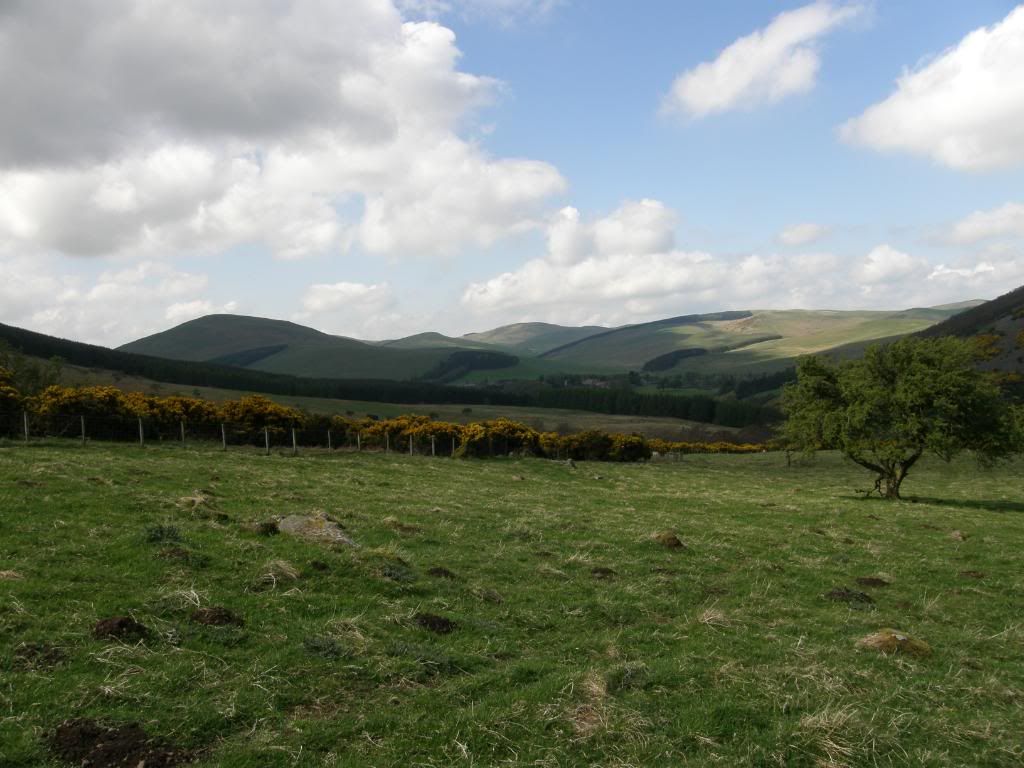
Looking back to Colsmouth Hill in the distance
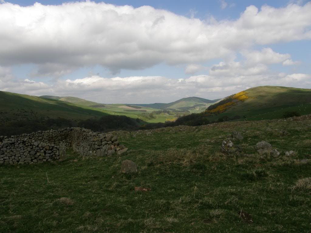
An old settlement and enclosure looking north to Kilham Hill in the distance
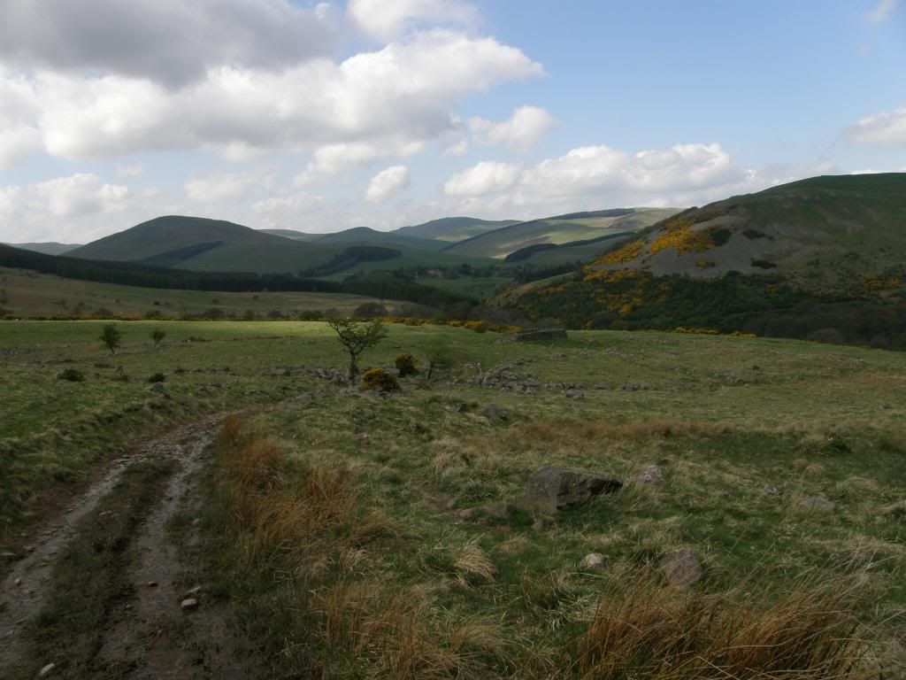
A last look back before walking up past Yeavering Bell
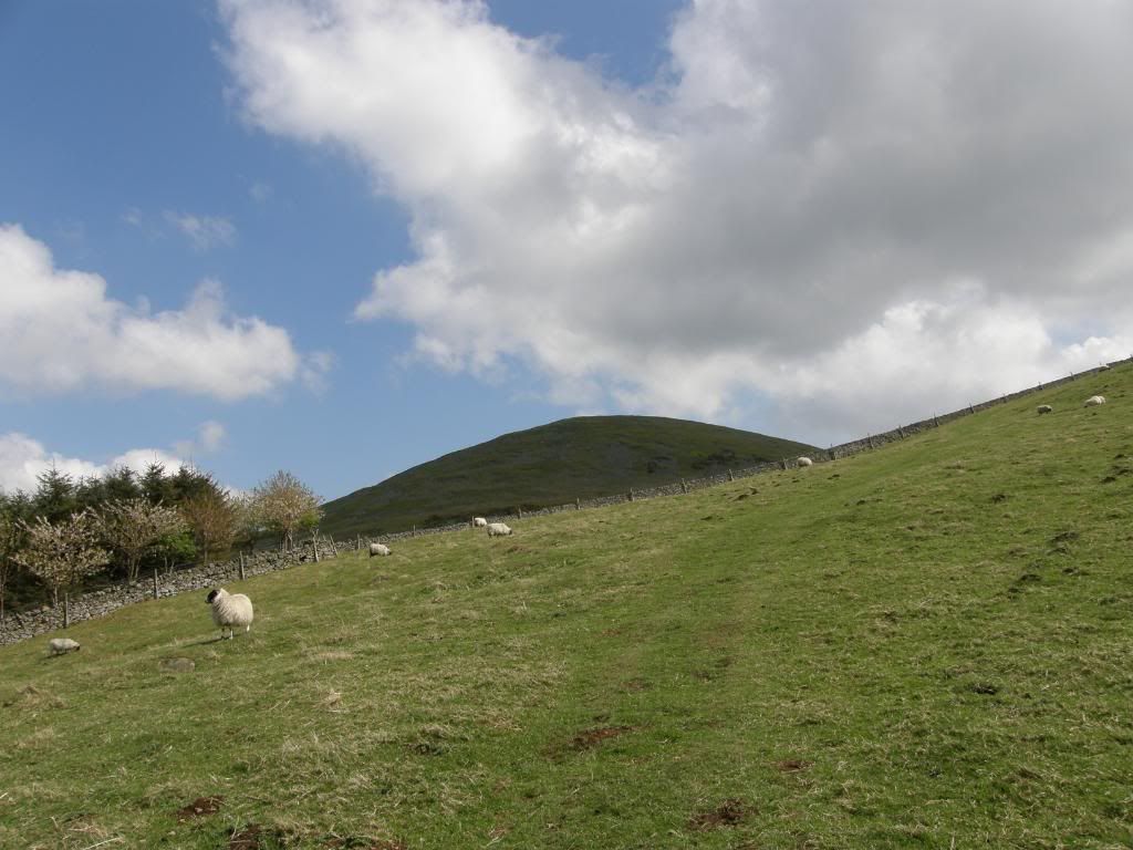
Yeavering Bell
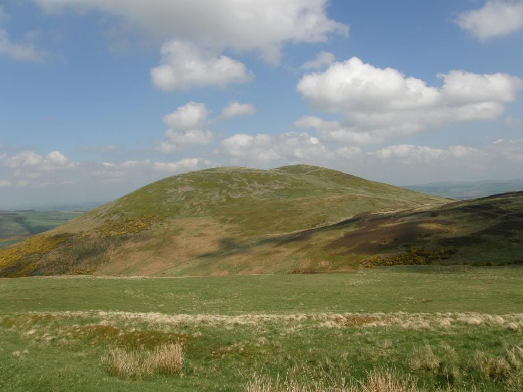
You can see the ramparts around the top of this cheeky hill
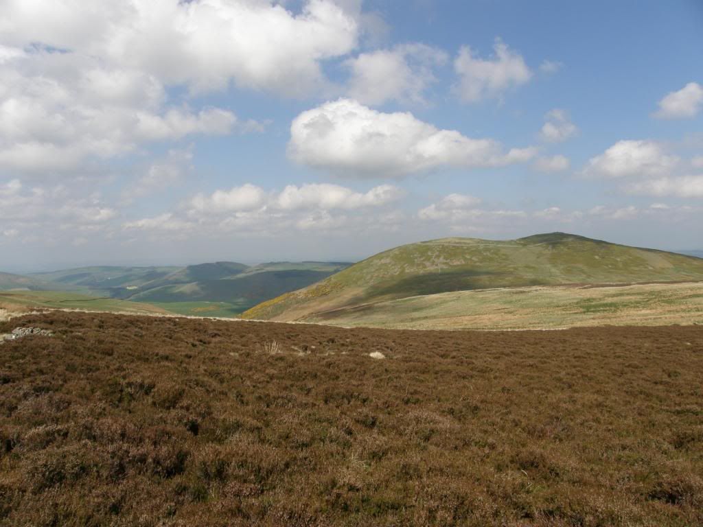
A really last look back at today’s journey – fort fantastic mate
I walked past a bizarre four finger signpost – usually they are about 6ft tall, but this one must have sunk or there are a lot of dwarves walking along here as it was only 2ft high (no offence meant to our short friends or the Scots or anyone else I might offend on these pages – sheep don’t count they can’t read). The climb up past Yeavering Bell reaches the top near to Tom Tallon’s Crags, and from here the route took me across some delightful moorland. This was obviously well managed grouse moors that had been systematically rejuvenated by burning off regular patches of heather. It gave the moors a beautiful patchwork appearance, with all shades of colour, but I only saw a few black grouse breaking cover now and again. It was a little boggy in places but I was lucky it had been dry for sometime, and I could easily hop along the reed clumps to stay dry. The Cheviot was prominent to my right and it was good to see in the sun as it is usually cloud covered at 815m. I am planning a coast to coast route next year that passes by here and it was good to see the lay of the land – I’ll definitely hope for dry weather again. The walk along the top here was exposed and I got a good buffeting from the wind, but it was easy striding along the good paths – balmy, windy, and wonderful. There are shooting butts in a long line across the moor, but the cheapskates couldn’t be bothered to blend them into the landscape and they look like a series of fence panels all in a line – pah. It is about 2 ½ miles along the moorland path before reaching Hambleton Hill and the start of the descent down to Wooler.
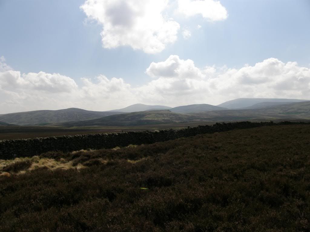
The Cheviot is the big boy
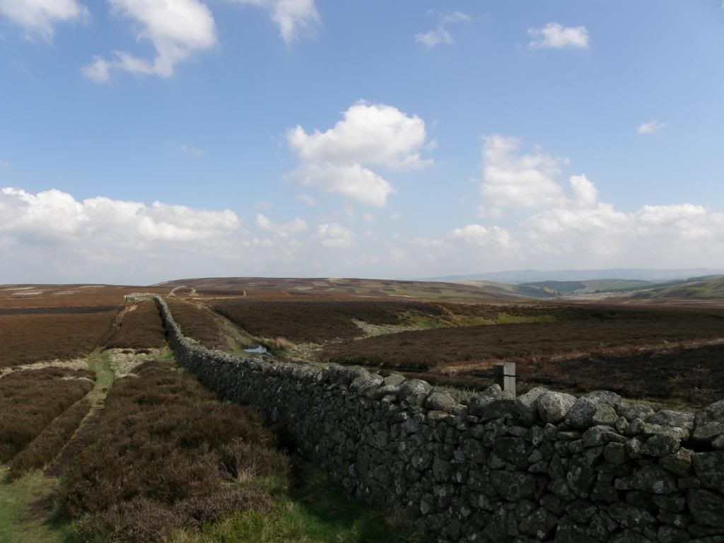
Beautiful patchwork moorland
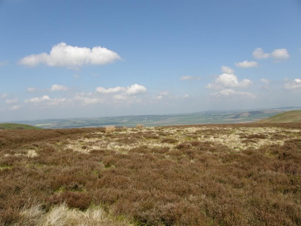
Wooler is just over the hill
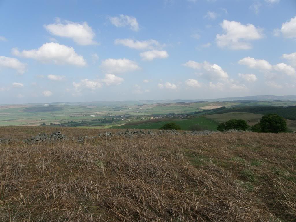
There it is below Wooler common
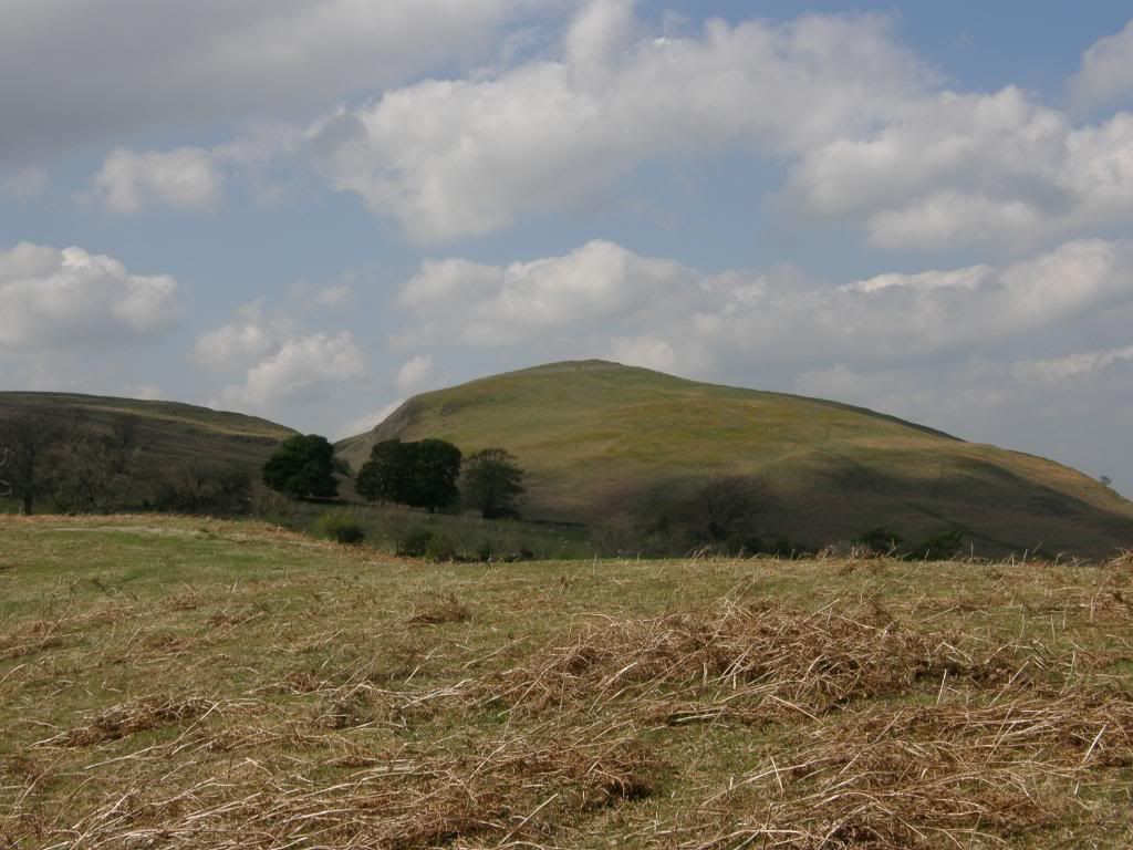
The last hillfort of today – Hambleton Hill
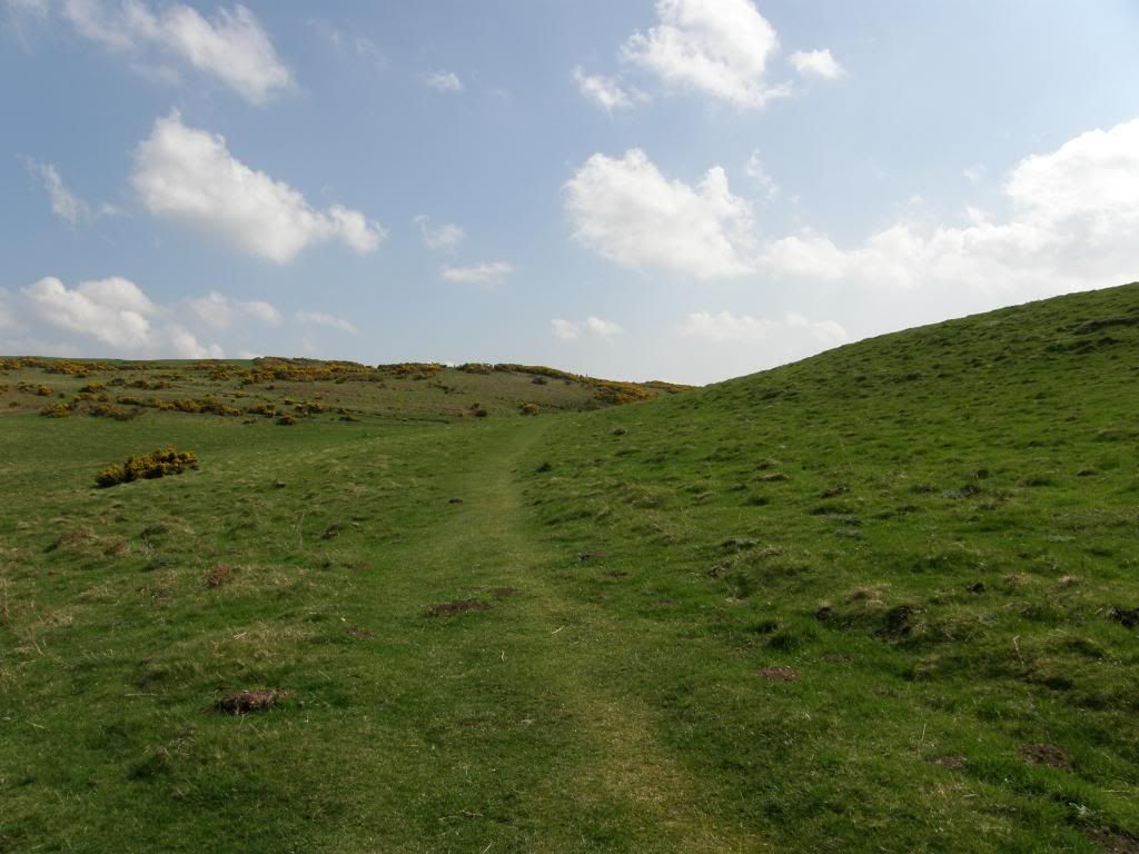
A little uppy before Wooler Common
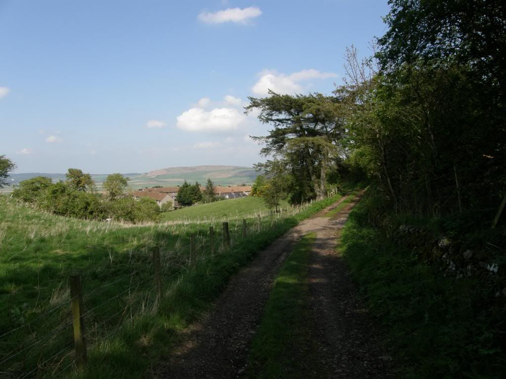
Nearly there
The route winds down and around Wooler Common, through a patch of woodland before climbing once more over lumpy bumpy hillfort land at the Kettles Fort. Then it was out onto a farm track that leads down to housing on the outskirts of Wooler. A short walk down led me to the high street and my B&B for the night – aggh lunchtime in the middle of the afternoon. I dropped my pack off and had a lovely chilli chicken baguette with a pot of Earl Grey tea before my chauffeuse whisked me off to Doddington Moor to look for some Neolithic rock art. We walked up to the golf club to look for the main panel high up on the moor and asked an old couple where it was. They kindly told us it was up at the top beyond a bench and next to a fairway in the rough – that saved a huge amount of time wandering around looking for it. It is positioned between the two earthworks of the summit of Dod Law and it is difficult to make out all the details unless the panel is wet – but then it would be raining. As at Buttony this rock art is in view of the Cheviots and it is amazing to think it is so old – probably about 5000yrs and it looks like a games compendium!
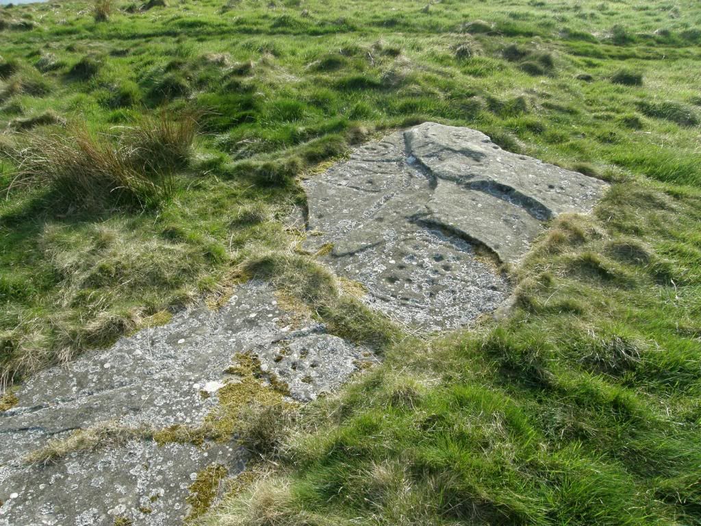
The main panel on Dodd Law
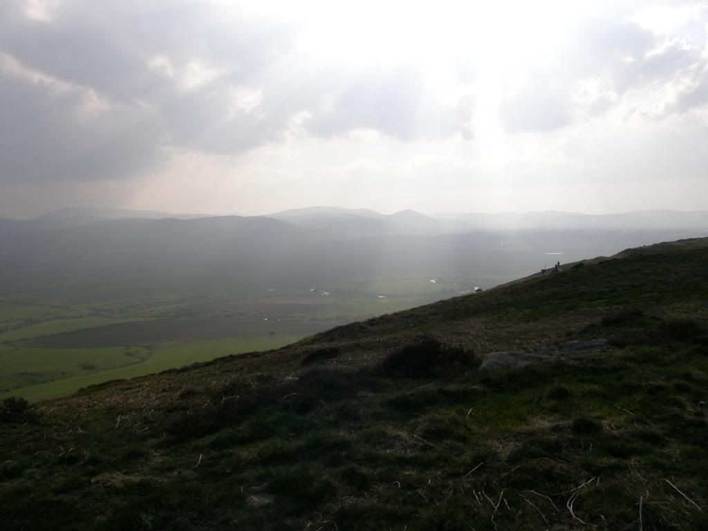
A celestial bit of sunlight to end the day – a majestic setting
We walked back down the moor and passed by the quarry where I saw another different type of cup and ring mark – smaller but well formed, a perfect end to a wonderful day....again. We retired to the local Italian restaurant Milan and I had a huge plate of pasta to stoke up the engine before the final day of reckoning, and a sarnie and packet of Hula Hoops for my lunch – yum.
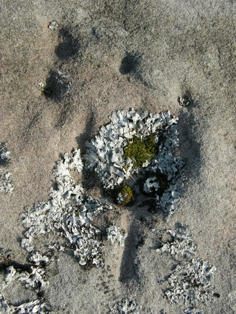
A wee one – looks like a wine glass with bubbles on top

No comments:
Post a Comment