Weather: Overcast, with light showers, occasional sunshine and rain again for the last mile.
Ancrum to Kirk Yetholm: 17 miles on memory map
Well I woke up this morning with some classical blues, and no I wasn’t feeling ill, the landlady was blasting out Classic FM on the radio. It was probably a tried and tested method for waking her guests to be ready for breakfast on time. But it was OK and the breakfast was a nice start to the day – grilled not deep fried. I didn’t overload on the bacon and felt refreshed as I strode out to the car for a lift back down to where I had finished yesterday. The only problem I could see with St Cuthbert’s Way was the accommodation, as it is limited along the route. I was OK because I had a lift every day, but you would have to plan carefully – more of this at the end. It was good to see today’s destination far away to the south east, especially as that meant it wasn’t raining....yet. The start of the path was through the wooded grounds of the Monteviot Estate, and it must be a concessionary path because it doubles back on itself several times before it reaches the banks of the River Teviot. By the time I had reached the wooden suspension bridge that spans the river the rain was coming down at a steady drizzle so it was up with the brolly again.
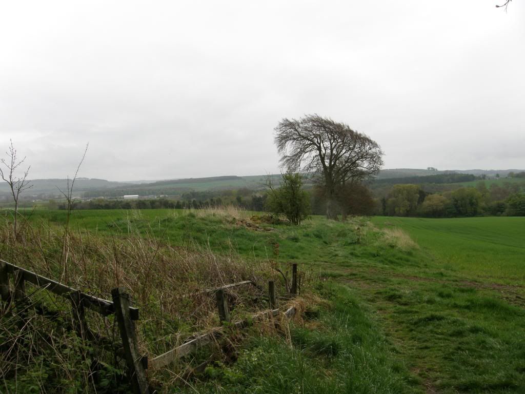
Down through the estate to the river
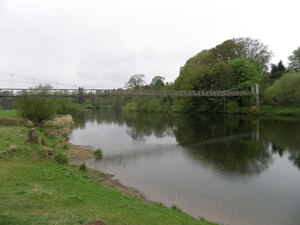
The bridge over the Teviot
It was very quiet down by the banks and I was kept entertained by a flock of Swallows that were swooping up and downstream enjoying a feasting frenzy. The Oyster Catchers were strutting their stuff as well, but every time I got within snapping distance with the camera zoom they were off further down the shingle bank. I then observed a procession of various birds flying past – a bit of a wacky races scenario with the Swallows followed by a Heron, a Blackbird, a flock of Goldfinches, Pied Wagtails, a big Buzzard chased by a crow, Robins....the list goes on. Probably the best bird to watch today was the Lapwing, and I could hear them before I saw them, a sharp peewit sound. I love watching them fly as they look like a badly made paper aeroplane, dipping violently to the ground, but not quite crash landing. The fish were jumping again and not a fisherman in sight, so I continued to stroll along the banks of the Teviot before cutting across Jed Water, the A698 and an old Railway track close by, then starting down (up actually) Dere Street again. The way marking was good, with directions for a few different walks shown including the Border Abbeys Way which passes through here – it starts or ends at nearby Jedburgh.
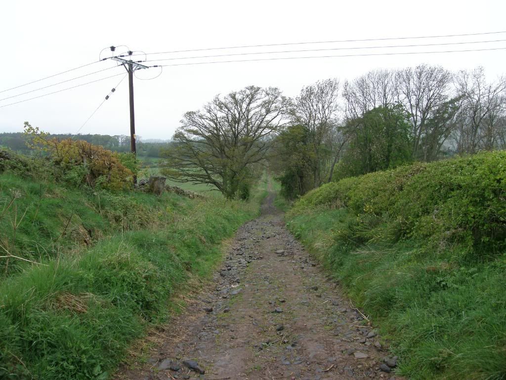
Dere Street again
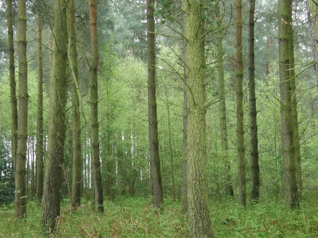
Along the diversion
I had donned waterproofs down by the river as the weather was a bit ‘dreich’ and the brolly wasn’t that effective against the fine mist. But it didn’t last and by the time I had walked up Dere Street a little way I decided that was it for the waterproofs – time to scare off a few with a show of hairy legs and sod the drizzle. As it happened it had stopped raining as I reached higher ground and I was happy with that. After a gentle ascent up the farm track between very neat hedgerows there is a very clearly marked path away from Dere Street. This is a revision from the original route and it is a good revision as it took me along more woodland paths at the edge of mature stands of Scots Pine, with a luxuriant undergrowth of Silver Birch. I would have had views over to the Waterloo monument but it was too overcast, but no matter, I passed by several Badger setts and listened to a lot of birds singing. Where there is a bit of new path towards the end of some woods, there were lots of baby nettles coming along, so I hope someone gets down there with some spray or a scythe before the height of summer, or I get the feeling there will be a new path developed in the field along side. After a short walk up a small road and then onto a farm track, the path drops down another valley to Oxnam Water and crosses over by a newly built wooden bridge. It was very peaceful here and remote, but up ahead I could see trouble brewing. The river had undercut the sandstone cliffs nearby and I wondered if they would be populated by Sand Martins a little later on in the year. I climbed steeply out of the valley through a field of bullocks, and they all lined up like naughty schoolboys, giving me the eye as I approached. Once one of them decides to come towards you the whole lot start ambling along at gathering pace, so I was forced to wave the arms and brolly around a bit – but they are only curious.
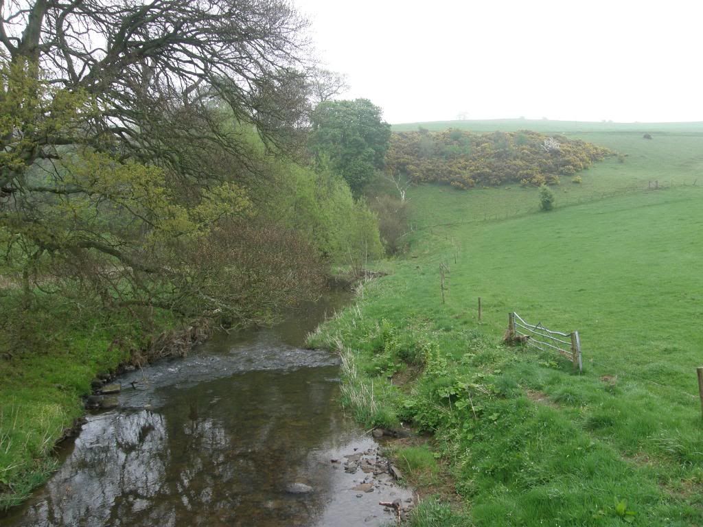
Over the Oxnam Water
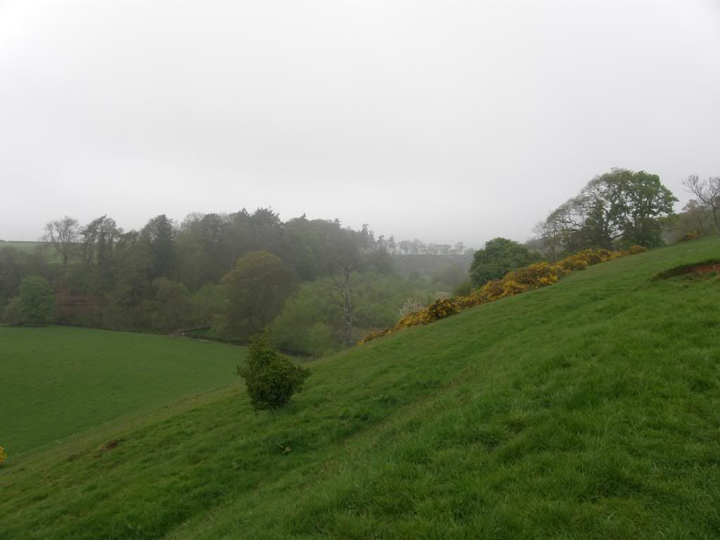
Looking back down to the wooden bridge
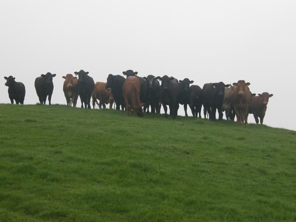
Here come the herd
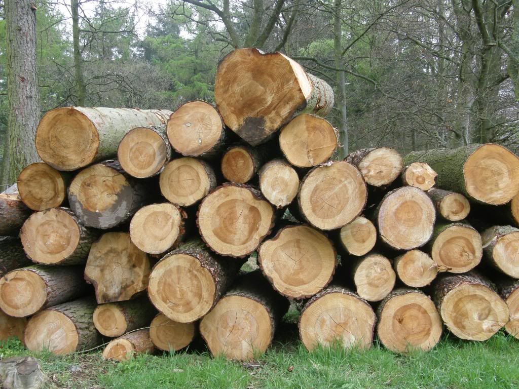
Warm winters ahead? Or a new fence
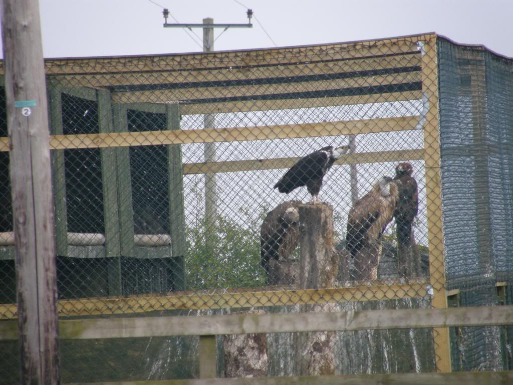
Not budgerigars that’s for sure
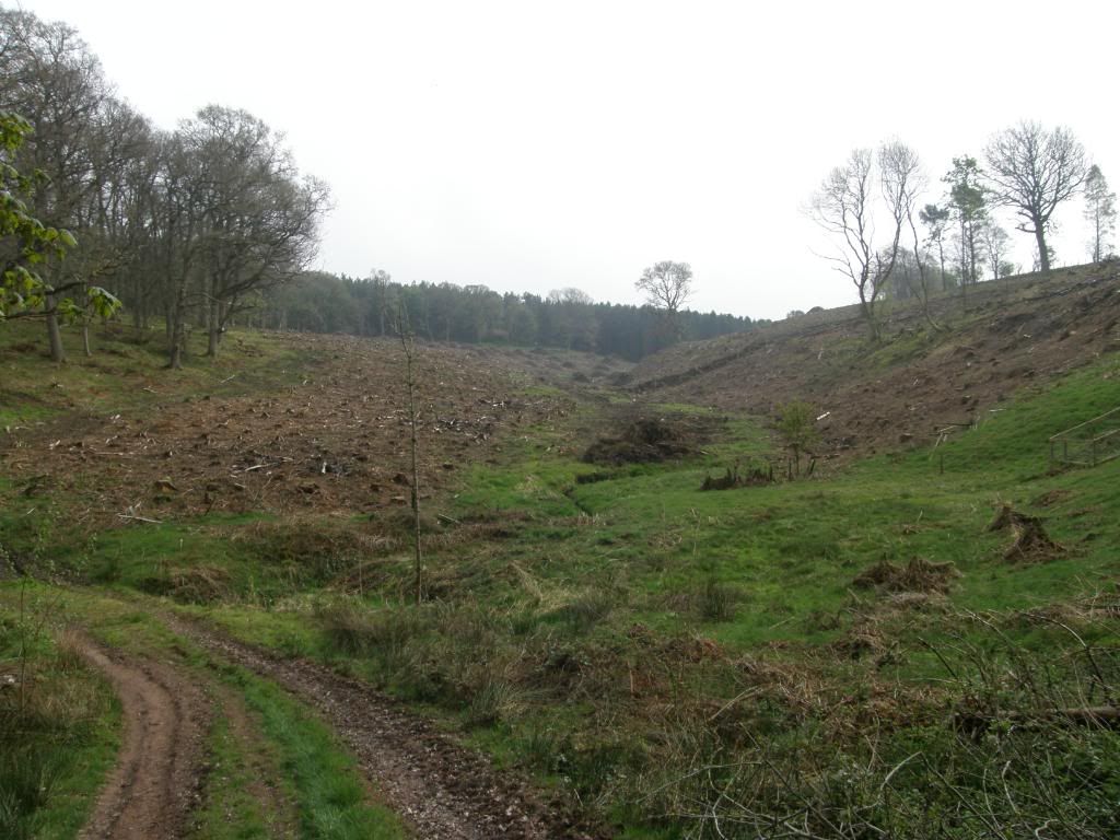
Harvested plantations surround the path in places
There were several herds of them today and all of them took an interest, but most of them were on the other side of the hedge. The way followed a narrow strip of mature pine, with rows of harvested trunks neatly stacked up awaiting collection. Beyond this was a surprise as I passed by a farm at Brownrigg I noticed a cage that appeared to be full of Griffon Vultures – a bit bizarre in the middle of nowhere. There was some building work going on and as is usual with building sites there were several builders staring long and hard into a foundation hole, accompanied by loud tutts and inhalations, head scratching and shaking – pity the owner. The nature of the way changed again as it passed through a series of small woods, along field borders and some farm tracks. The rolling hills and fields here are vast but still bounded by neat dry stone walls, and they have small square plantations that are probably used for feeding up the game birds judging by the number of Pheasants hoping in and out of them. This was a delightful interlude and as I progressed up to the top of a ridge on Cessford Moor the old castle ruins came into view at Cessford in the valley below. There was plenty of Rape Seed Oil glowing bright yellow in the spots of sunshine and it provided a good contrast against a dark grey sky in the distant hills. I could also see my destination at the end of the day of Wideopen Hill and it still looked a long way off yet.
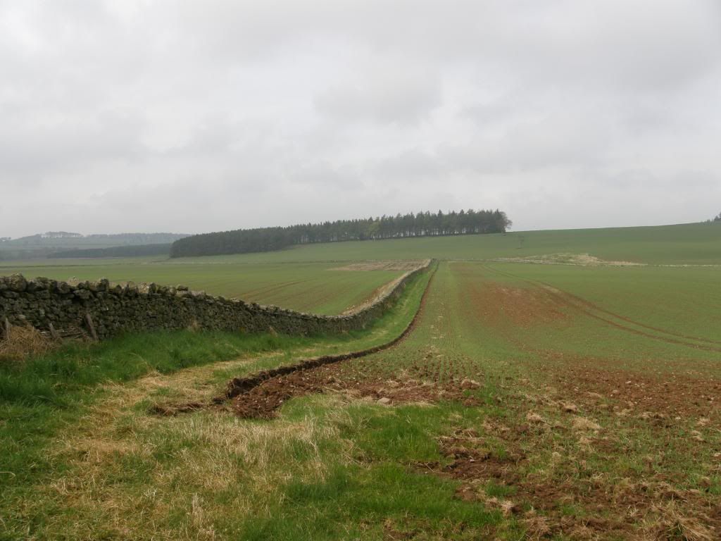
Some of the paths skirt around the field edges
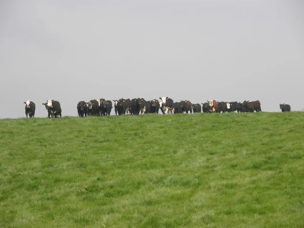
Another herd of bullocks eye me up
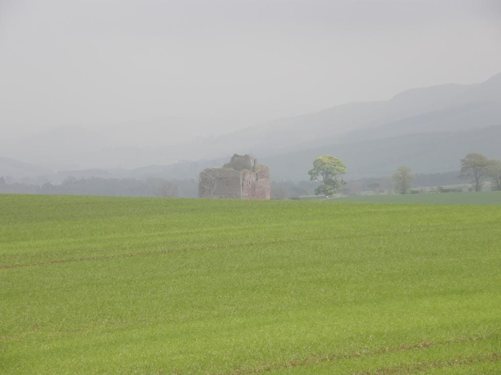
Cessford Castle appears
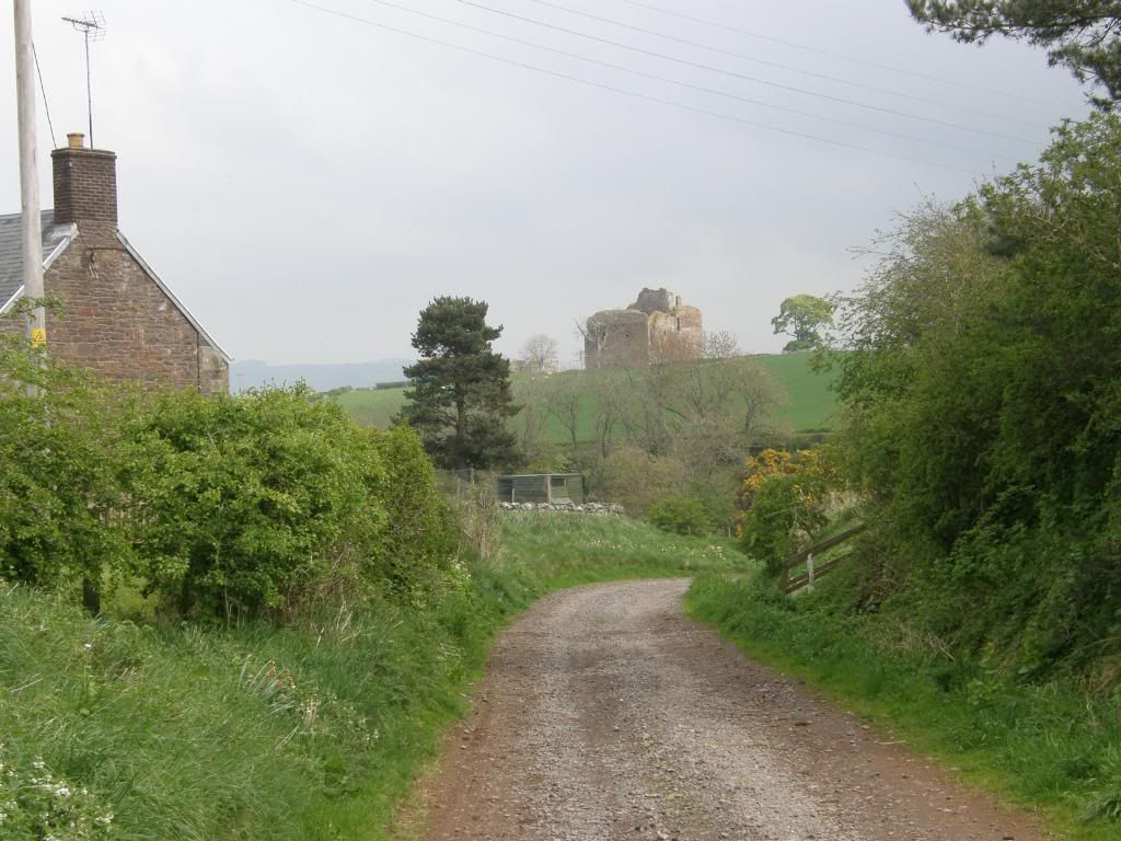
The lane down into Cessford with the castle behind up on the hill
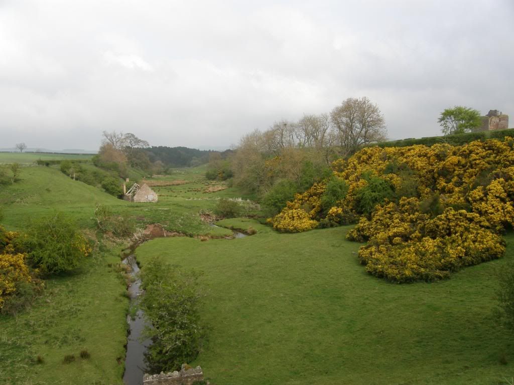
Lumpy bumpy ground around the burn
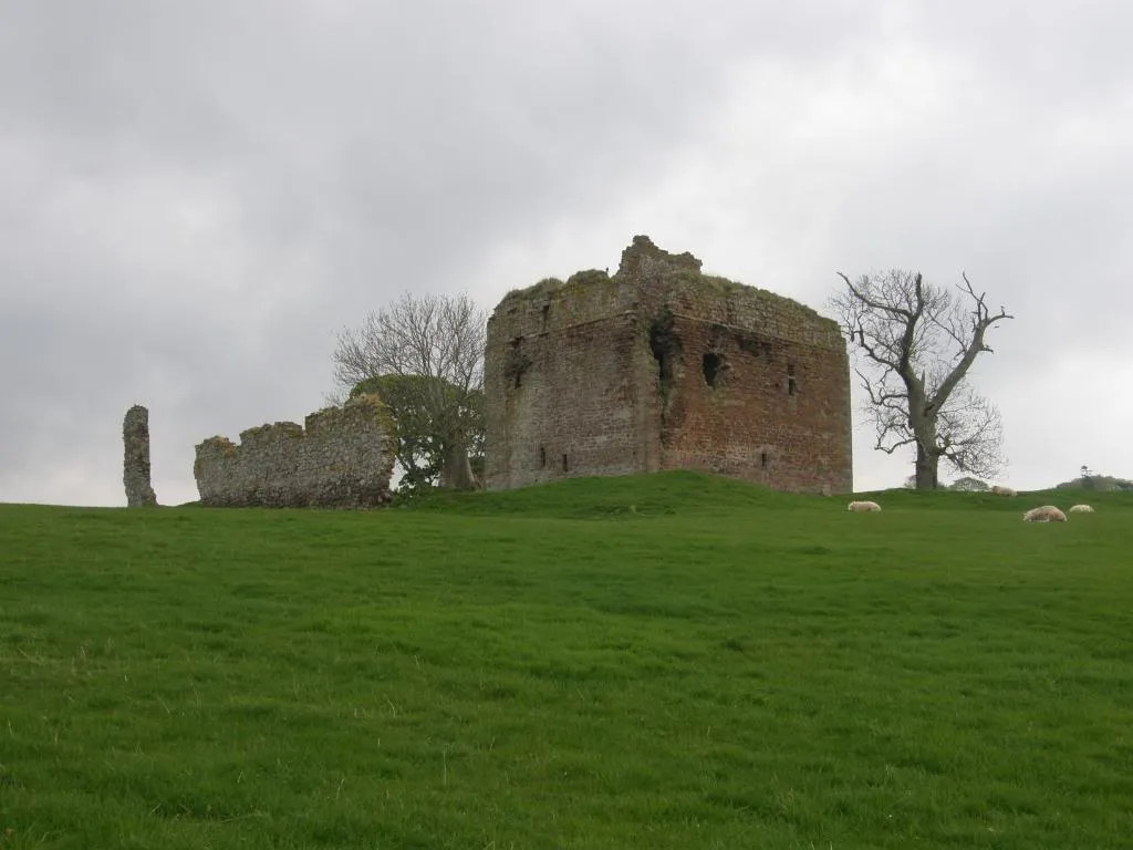
Cessford Castle from the other side
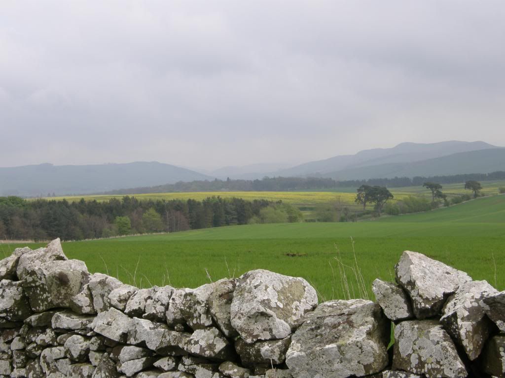
The view towards the days end at Wideopen Hill
The farm tracks and small roads were OK to walk on and it was nice to be able to stride out while looking around, without worrying too much about where my feet were landing. Cessford Castle sits in the landscape like a big square pile of stones, pretty much in ruins, but a nice glow of ruins. It looks bedded into the fields, a big lump that isn’t going to fall anymore, giving a lot of history to the surrounding area. But it is a strange little place, a jumble of mixed buildings either side of an odd little valley. I passed between two lines of cottages – must have been for the estate workers, then along the road to turn and walk past the castle. Even the river sits oddly in its valley – straight bits and lumpy bits. It was all road work now downhill to Morebattle and beyond, the sun was shining periodically and I looked forward to a visit to the village shop for a drink and sandwich. I plugged in the old I-Pod and let my mind wander as I wandered down the lanes, looking back occasionally to the castle, but mainly looking forward to the hills for tomorrows walk and the end of today. Into Morebattle the road gently rises into the heart of the village and at the top end is the village shop on the left hand side. Bugger – it had just been taken over and was in the process of being restocked slowly by a nice lady. She didn’t have any sandwiches, but she did have bananas and Hula Hoops (the type you eat, not the whirl around the hips one).
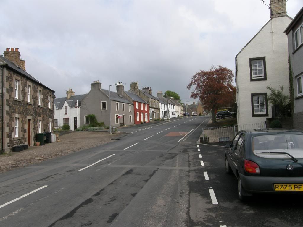
Morebattle high street – no Tesco’s here
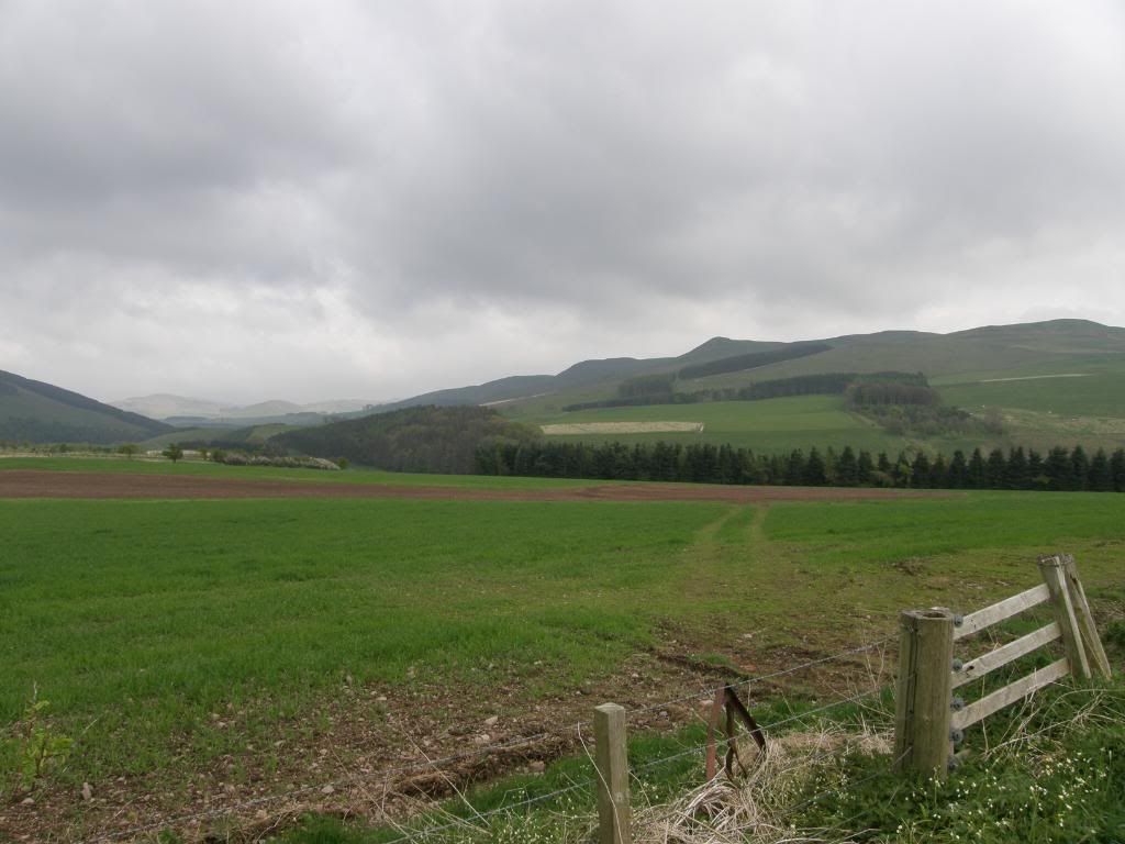
Wideopen Hill beckons soon after Morebattle
So suitably refreshed I walked on along the roads towards the start of the hill climb out of the valley and up towards the high point of the walk at Wideopen Hill. As I looked around I could see the outlines of old hill forts on the surrounding hills, a little taster for day three. The slopes up to the top weren’t too bad and it was nice to be back on softer ground again. The path wound up towards and around Grubbit Law, before making the ridge that runs up to Wideopen hill. The views were glorious as I got higher, and I made sure to look back towards the start of todays walk, and along the Kale valley to the south of me. I could look over the Bowmont valley and beyond to the hills where the Pennine Way runs to a close. It looked pretty inhospitable today, shrouded in low cloud and heading my way.
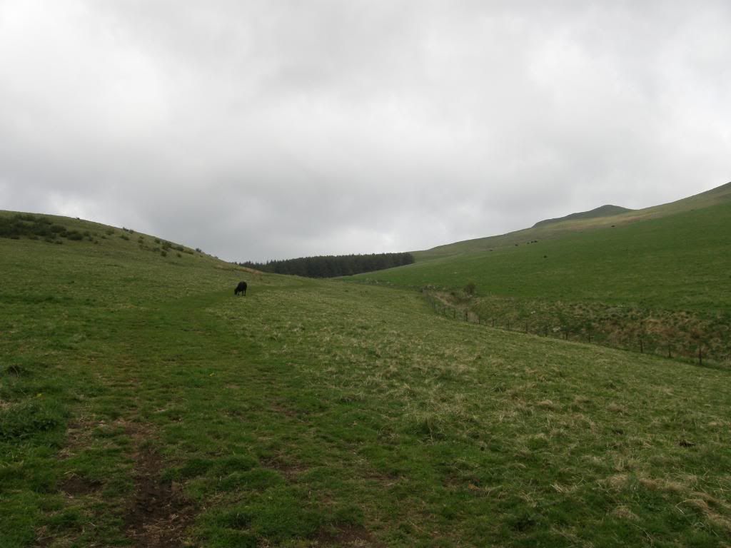
Up along the side of Grubbit Law
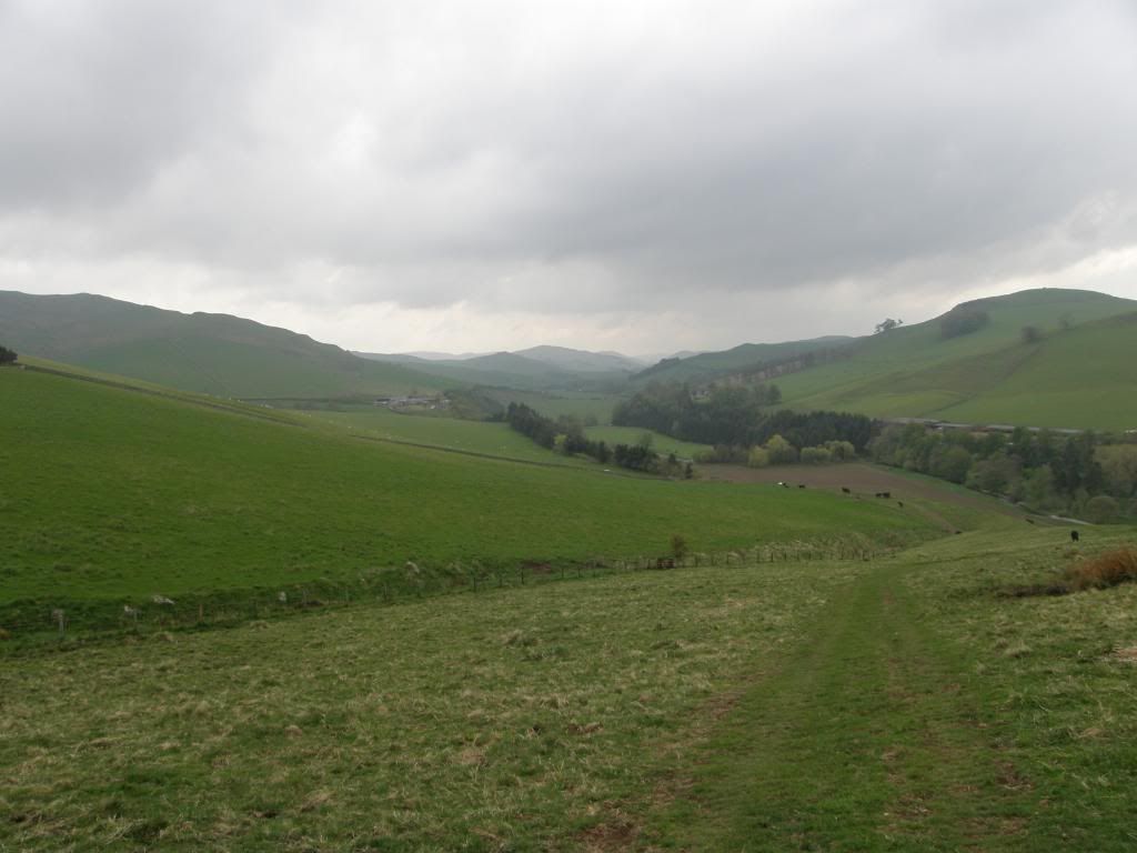
Great views to the south
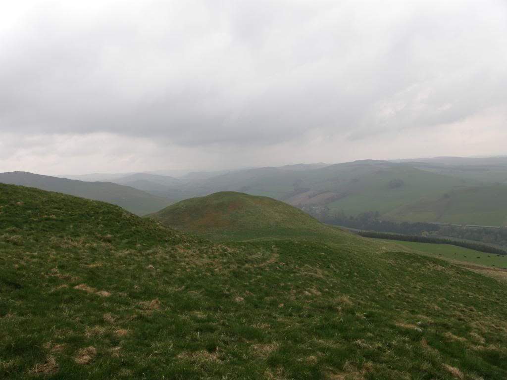
Looking back down on Grubbit Law
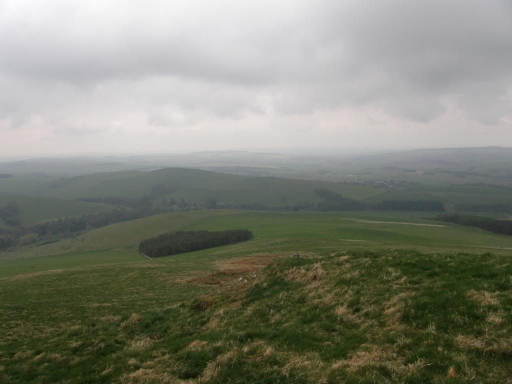
Looking back over the route I had travelled today – the weather closing in
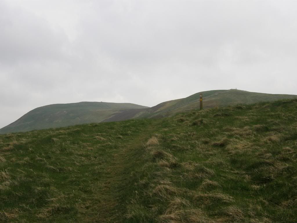
The path up to the top of Wideopen Hill
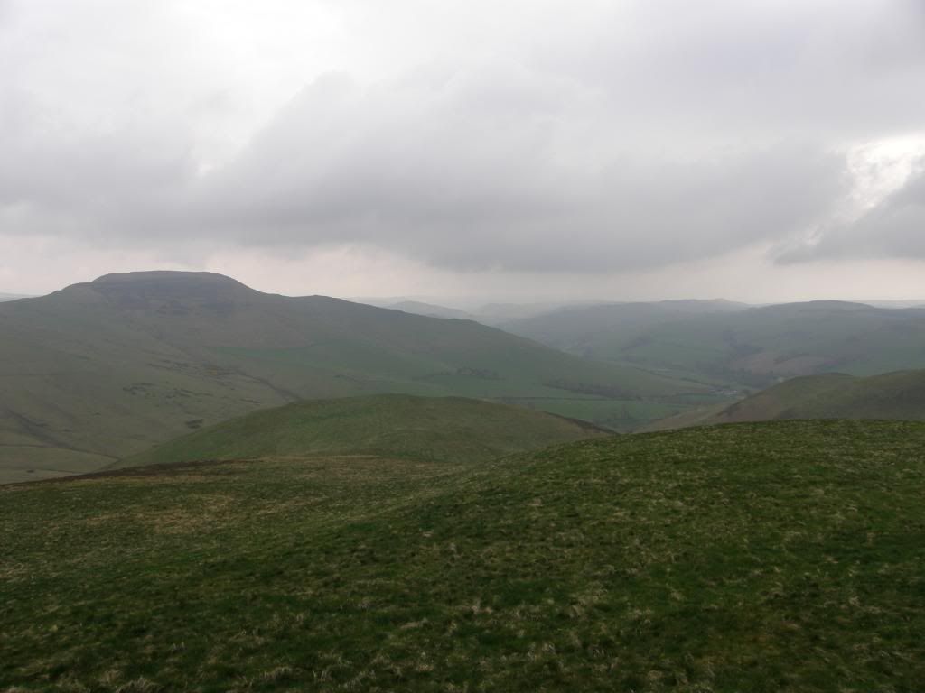
The big hillfort at Hownam Law
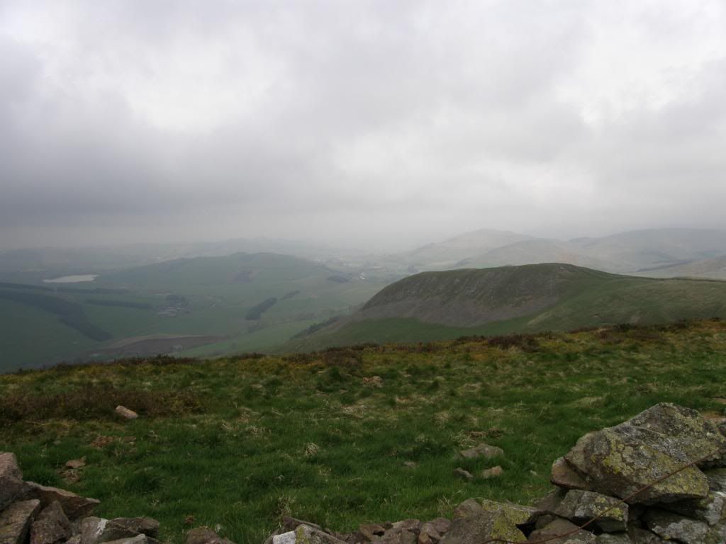
Down towards Yetholm
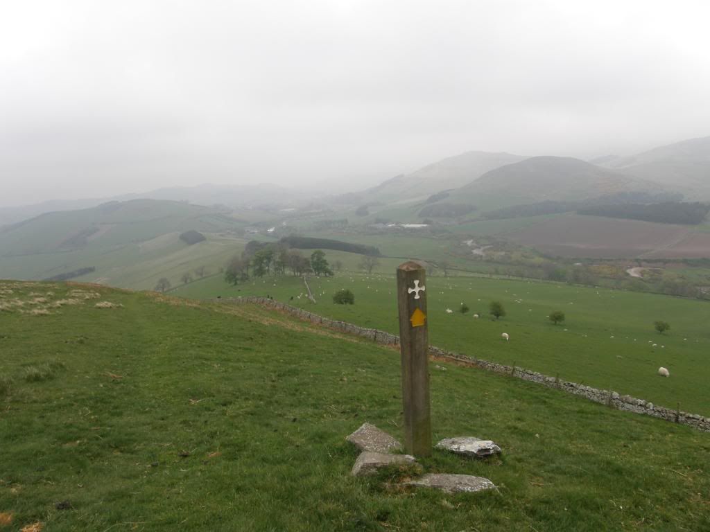
and a bit further down
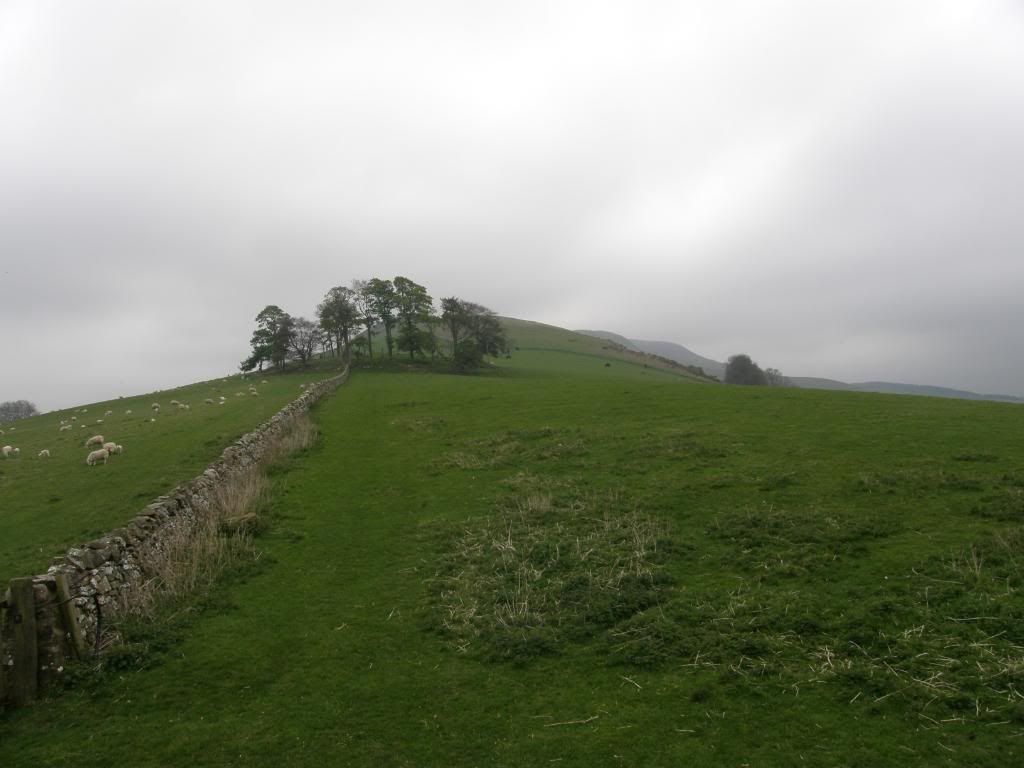
Looking back up to Wideopen Hill
Soon enough I made the summit of Wideopen Hill and it is marked by a little plaque telling the height of the hill and the midpoint of the walk, one more stride and I was closer to the sea. I took a little time to drink in the views and gulp some more fresh air – there was plenty of it, but I was warm enough in my fleece. There was more delight as I passed down through fields of new born lambs and yet more bullocks. The path stayed along a ridge down to Crookedshaws Hill and then eventually came out onto a minor road that runs to Town Yetholm and Kirk Yetholm. It was at this point that the weather finally caught up with me and it threw it down for a mile into the village of Town Yetholm, but even this gave me a smile as I passed by a garden full of gnomes. The walk to Kirk Yetholm took me across the valley and past the old Kirk, finishing beside the green overlooking the Border Hotel – the end of the Pennine Way. I burst into the bar almost decapitating two ladies with my brolly – I was the only walker in there at that time, so I ordered up a nice long draught and settled into a comfy seat to end another good days walking. Slurp........
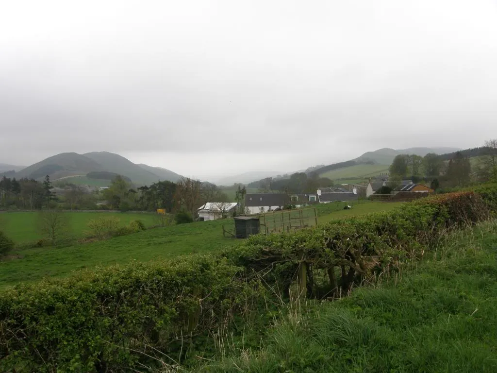
On the road to Yetholm, the rain starts down
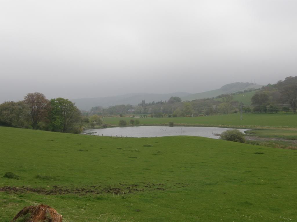
Bowmont Water

You don’t see many garden sheds with a horse on!
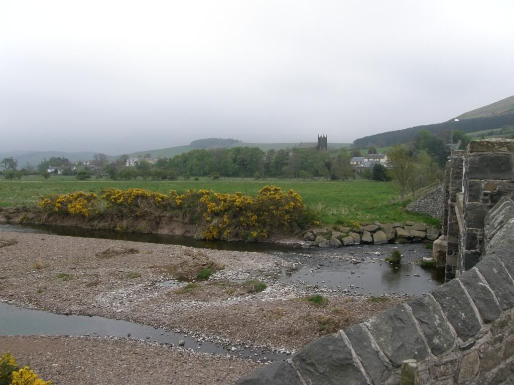
Kirk Yetholm at last

No comments:
Post a Comment