Weather: Overcast, with light showers, occasional sunshine and heavy rain for the last mile.
Melrose to Ancrum: 16 miles on memory map
I didn’t sleep too well last night, not because of the hotel but probably due to too much pop and some sense of anticipation for today. So I kept ticking off the hours on the bedside clock that was glaring angrily at me in bright red digital figures – on the hour every hour. But I slept enough as I survived the day ok and only got a bit ratty at the pub in the evening. I decided on a cooked breakfast for the first day – a big mistake as it wasn’t up to much, apart from being fried to death. So readers you may deduce from that start that I have had a bad day – dietary yes, walking never. I felt the familiar thrill of setting off on a new journey with a spring in my step and a grin on my face – ooh I love walking. The forecast today wasn’t brilliant so I packed my big golf umbrella to give me added protection – there wasn’t any wind forecast so it was ok to use if needed – it was. You may think that carrying a big umbrella would be cumbersome, but it doesn’t weigh much and tends to float on the air when walking along. It’s only when it gets a bit too windy that it becomes a hindrance and then I just use my waterproofs. The initial walk away from Melrose Abbey took me up through the town by the road south, under the A609 and uphill. The path wasn’t clearly marked initially but the Eildon Hills are the only ones around so you can’t go too far wrong.
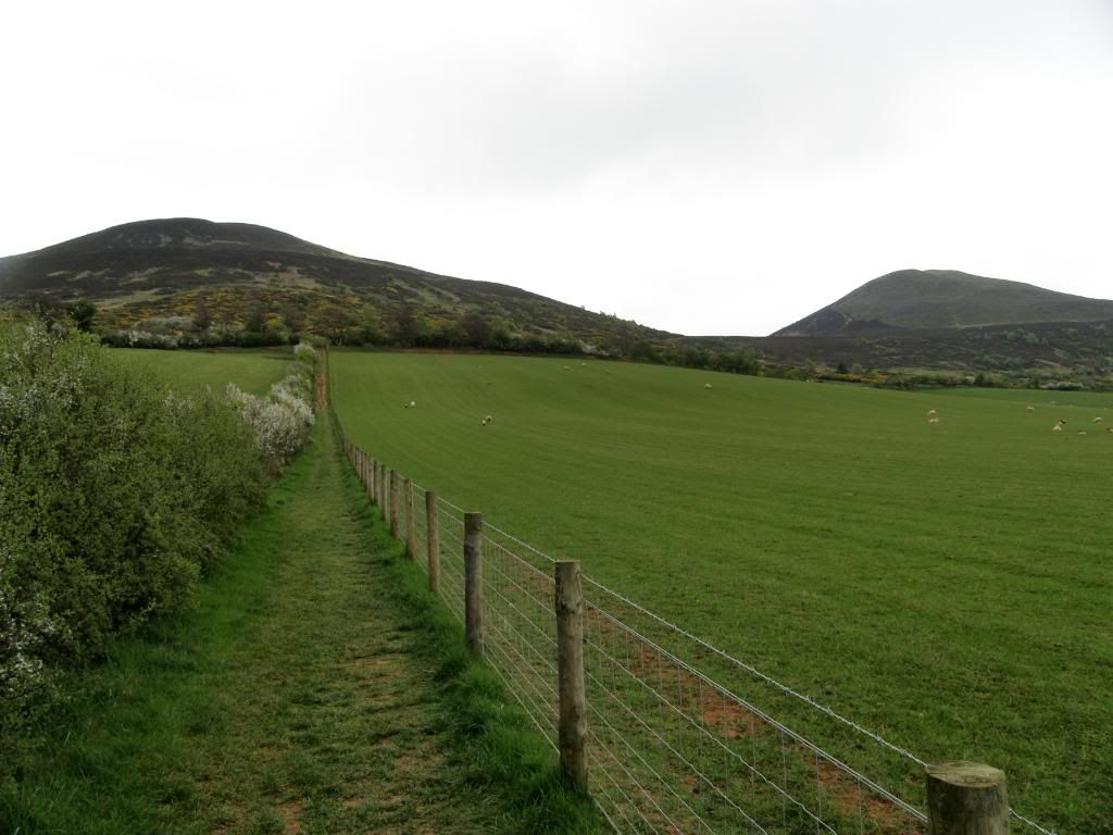
Up to the Eildon Hills
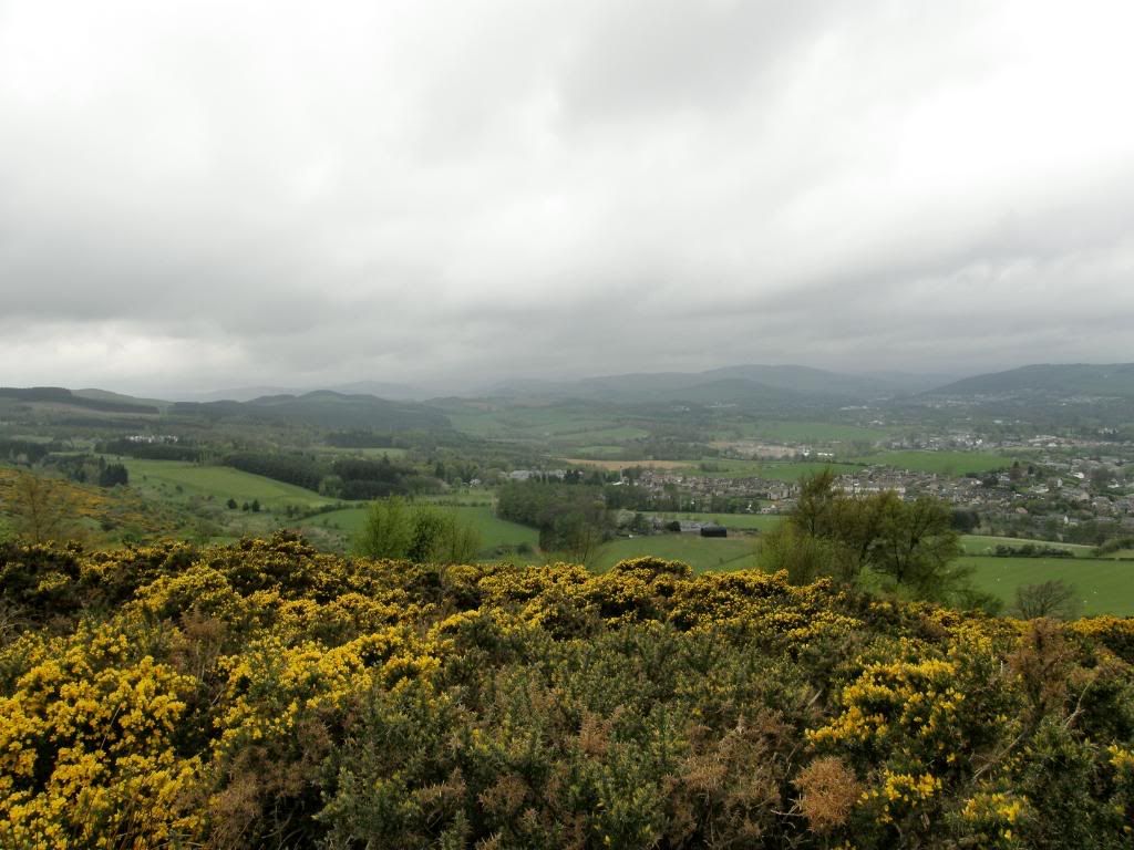
Looking back down on Melrose
Once I was on the waymarked path the route was clear, and like most of the national trails there are regular wooden marker posts with the St Cuthbert’s Way symbol painted on, or marked by a small square disc with a cross on it. I had barely warmed up before the route became steep and my heart was beating a regular rhythm, fast but regular. But I knew that this was the steepest and highest part of the day, so all the work was done early on. I met an Australian couple who were stopping a lot – they were on an organised walking holiday and had a handbook with detailed instructions on the turns and twists of the path. I showed them the Satmap GPS and they looked wistfully on. They told me they had walked a lot in the UK and Europe and were wondering about a simple unit that was a bit cheaper – so I pointed them towards one of the Garmin units and said my goodbyes. I only met a few people today, and most of them were stuck in the middle of the River Tweed in a fruitless task to catch a few fishies. The distance on the road to Ancrum was only 8 miles but as the route wound around the river it covered twice that mileage. The views back down to Melrose were good and the Abbey remains stood out separate from the rest of the town, with a cloudy rainy vista further away to the west. Once I was up and over the col between Eildon North Hill and Eildon Mid Hill, I could really admire the earth ramparts of the largest Iron Age hillfort in Scotland - pretty impressive to look upon, and the Romans liked it as well, using it as a signalling hill – shouting out to all who could here at the nearby Roman fort of Newstead - ‘sh!^e, the wee jimmy b@$£@^ds are coming again, quick dye your hair ginger’ or something along those lines. This was the only moorland path of the day and it didn’t last long before getting back to a mix of sheep grazed pasture, woodland trails, farm tracks and minor roads.
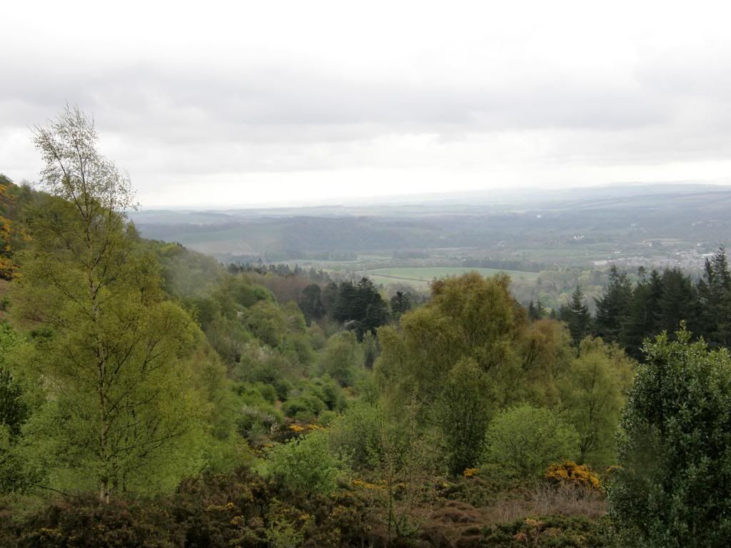
Looking ahead to today’s route
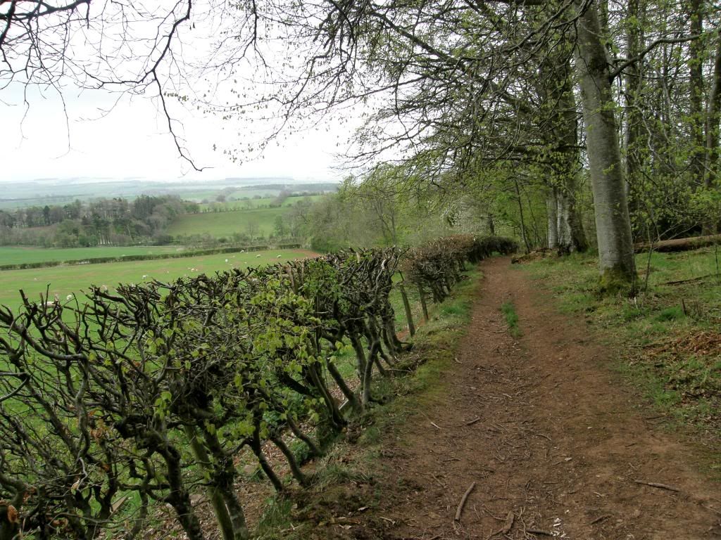
Along the woodland borders – a typical path
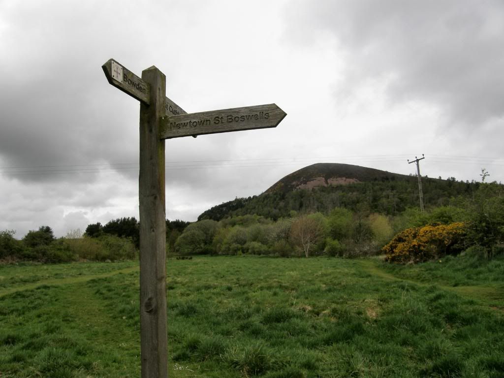
The path is well marked
The route took me down the backside of the Eildon Hills between the crack as it were, and I made easy progress along the way downhill all the way to the big River Tweed. I passed through a couple of small villages on the way to the Tweed – Bowden and Newtown St Boswells – but didn’t stop to look around, as there wasn’t much to see anyway, apart from the livestock market with its noisy occupants. A constant of the four days walking along the St Cuthbert’s Way was the birdlife, and I saw many many birds flitting in and around the hedgerows, farmyards, and the rivers. It was a joy to be constantly distracted, but with spring in the air the birds didn’t hang about long as they are busy nest building, and consequently I didn’t get too many shots. I turned a corner of a path today and came face to face with a huge Buzzard sat on a fence post. I don’t know who was more surprised, but he flew off before I could ready the camera. Once I was through a patch of woodland walking by the Bowden Burn, the path dropped down to the Tweed at a big bend in the river. From this point on the day was very relaxing despite some persistent drizzle, but that didn’t spoil things. I ate on the hoof today and didn’t have any sandwiches with me, just some fruit, snack bars and nuts – and as a treat a packet of fruit pastilles every day. Now as a snack these are useless as I have no self control and they only lasted a couple of miles – but they are nice. I had views back to the Eildon Hills and they didn’t look that far away, due to the winding nature of Bert’s Way.
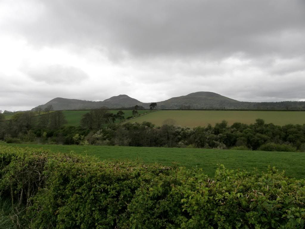
The view back to the Eildon Hills
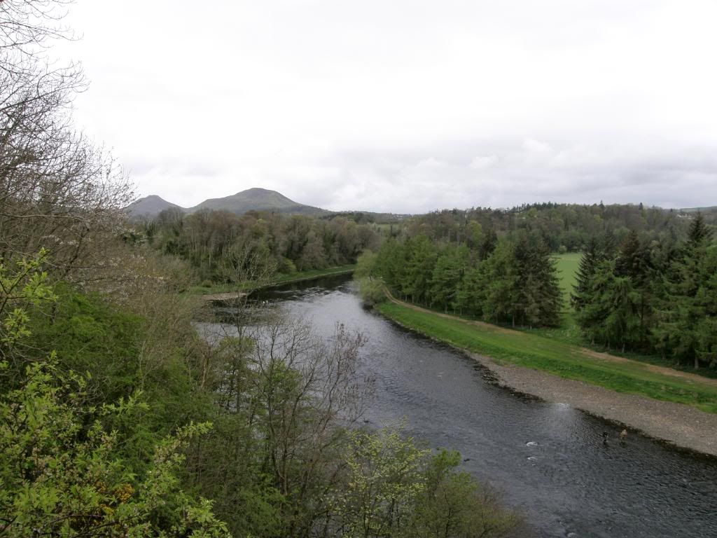
The River Tweed
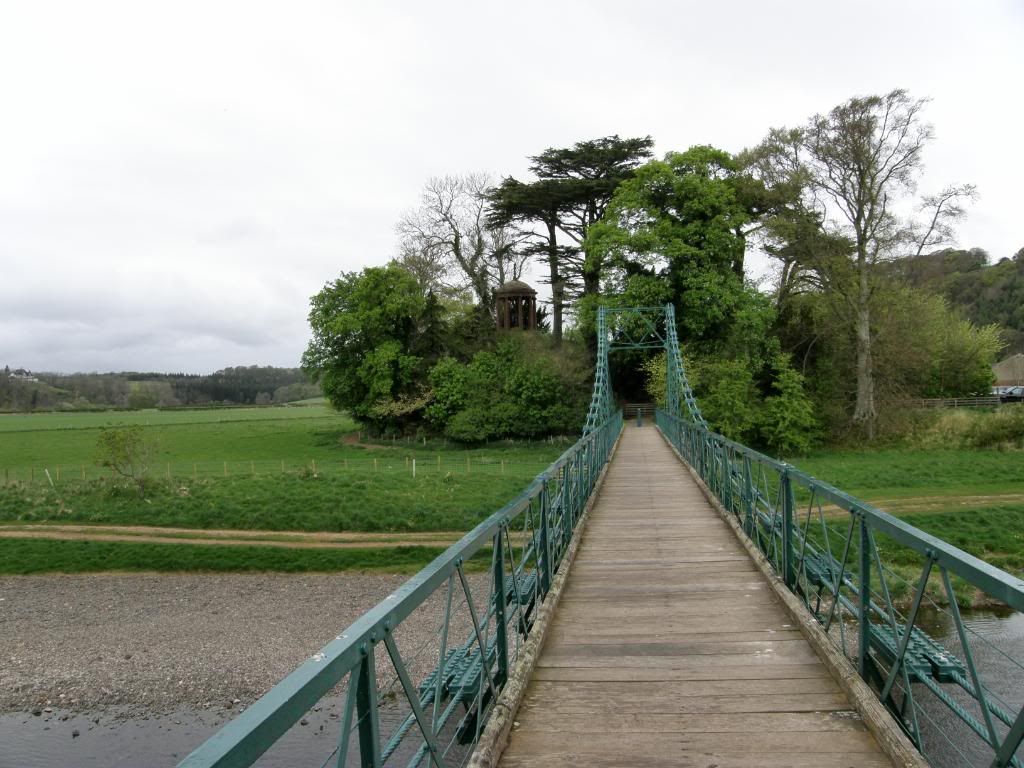
Cross here to go to the Dryburgh Abbey remains
Once down to the riverside there is a green metal suspension bridge that will take you over to the abbey remains at Dryburgh, but that would have added an extra mile or so to today’s journey, so I settled for a walk across to see the ‘Temple of the Muse’ – a tribute to James Thomson, a Borders poet who loved the natural world and was a precursor to Keats and Wordsworth apparently. I trod through paths lined with wild garlic, very pungent in the rain, giving the air a heavy scent, and I had a glimpse of the abbey remains through the trees but couldn’t see much. There were a few fishermen and one fisherlady, but none of them had caught anything yet. I think the Herons were having more success, and ironically as soon as the fishermen were out of sight I saw a couple of small trout breaking the water – that made me smile. There were plenty of ducks, gulls etc flitting around the banks and shallows – very peaceful, and makes you amble along a little.
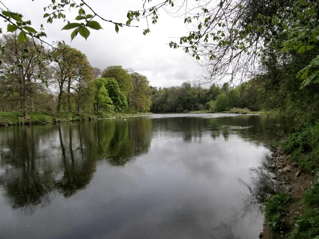
At peace on the Tweed
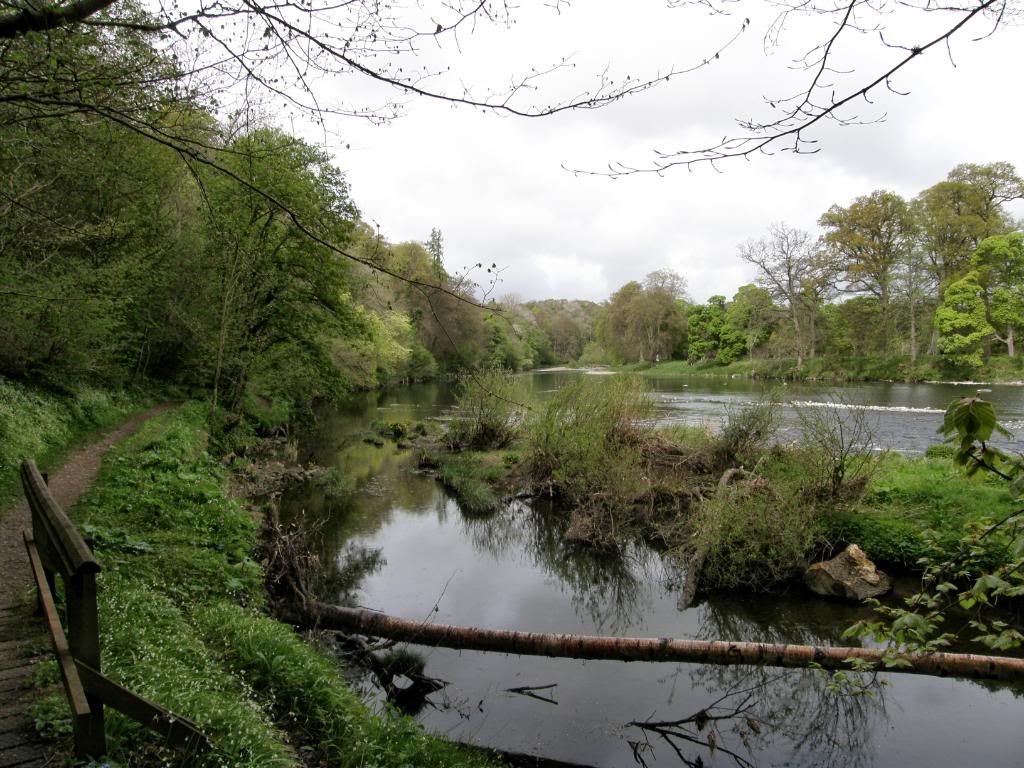
Looking back up river
The path leaves the river for a short spell to pass through the village of St Boswell’s – a good spot to top up with food and drink if you need some, although several of the shops had shutdown due to lack of custom in these troubled times. A shame really, but I suppose there aren’t enough shoppers or walkers passing through here to keep them going. Once I was through St Boswell’s the route was a little higher above the Tweed along a minor road, and probably the best view back to the Eildon Hills is here before dropping back down to the Tweed and walking along the edge of the golf course. I asked for a swing at a golfer’s ball, but he just gave me a funny look and carried on regardless – it’s only a small course but it sits in a lovely setting down by the river banks. The Tweed is a wide river here but has enough power to be undercutting a sandy bank before you get around the bend to an Old Red Sandstone Mertoun Bridge – a grand bridge for a B road that probably served Mertoun House in the past. Beyond the bridge there were several pairs of Swans gracing the river and gently bobbing for weeds, but just out of range for a good shot – the story of all today’s bird life. Around the final bend of the Tweed before leaving the valley is an old spring enclosed in a small grotto that used to provide fresh water to the estate above at Benrig House. Above the spring is the pump house where a mule or donkey used to walk around to work the pump – not 1hp but 1dp. I didn’t sample the water although it looked lovely and fresh, but then again it always does.
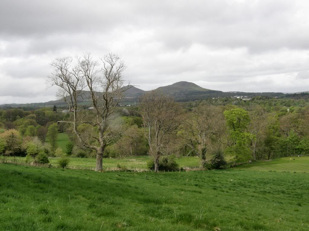
Another look back to the Eildon Hills
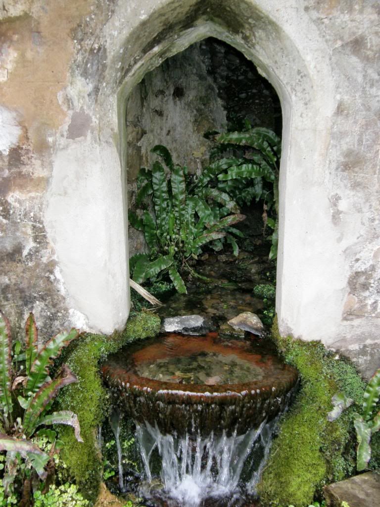
The spring grotto
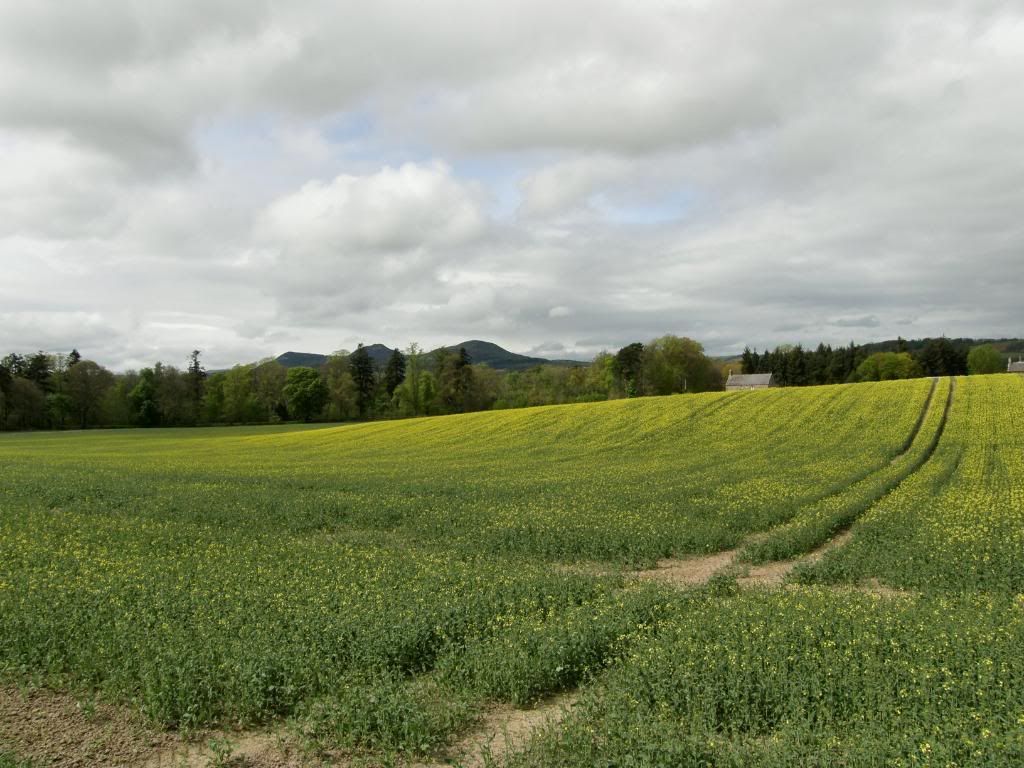
Maxton Kirk with some hills a bit further away now
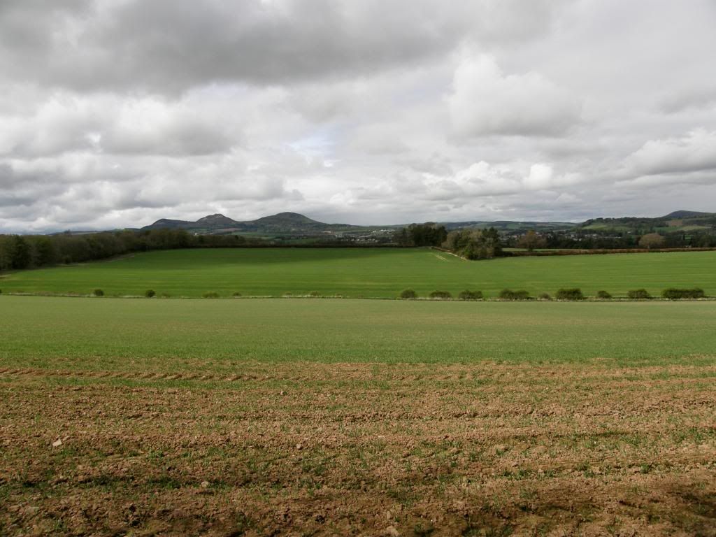
Hills of the Eildon variety – surprise surprise
Shortly after the spring the route climbs out of the floodplain and passes by a lovely small church at Maxton, where there is an information board that will give you the long history of this small church. More importantly it has a bench where you can rest your feet for a few minutes, have a drink and enjoy the peace that is with you – a lovely spot. From the Maxton Kirk there is a little bit of road to follow, and you are rewarded with views back to the Eildon Hills again – good job they are a handsome set of hills. I followed a small diversion away from the road and made my way through more wooded tracks and on towards Dere Street - the next bit of road that wasn’t a road anymore. At various points along St Cuthbert’s Way they have added signs to guide you to a view point a short distance off the path – an excellent idea and one that forces you to stop and ponder the landscape before rambling along again. Once I had turned onto Dere Street it was about 3 ½ miles of straight as an arrow walking, those Romans had a good eye. As I made progress along what was basically a corridor between fields, the treeline ahead and behind confirmed how straight Dere Street is (it runs from York to the River Forth). But such straightness didn’t detract from the enjoyment of the day – I passed by a sawmill with the lovely fragrance of Pine dust in the air, a new born foal enjoying the grass, fields full of Cheviot sheep, a fine stand of Scots Pine, Lilliard’s stone close by the site of the Battle of Ancrum Moor, Penniel Heugh with it’s Waterloo monument high in the air, a standing stone guarded by highland cow and calf – to name but a few. Lilliard’s stone has the following verse inscribed on it –
Fair Maiden Lilliard lies under this stane,
Little was her stature but great was her fame;
Upon the English loons she laid many thumps,
And when her legs were cuttit off, she fought upon her stumps.
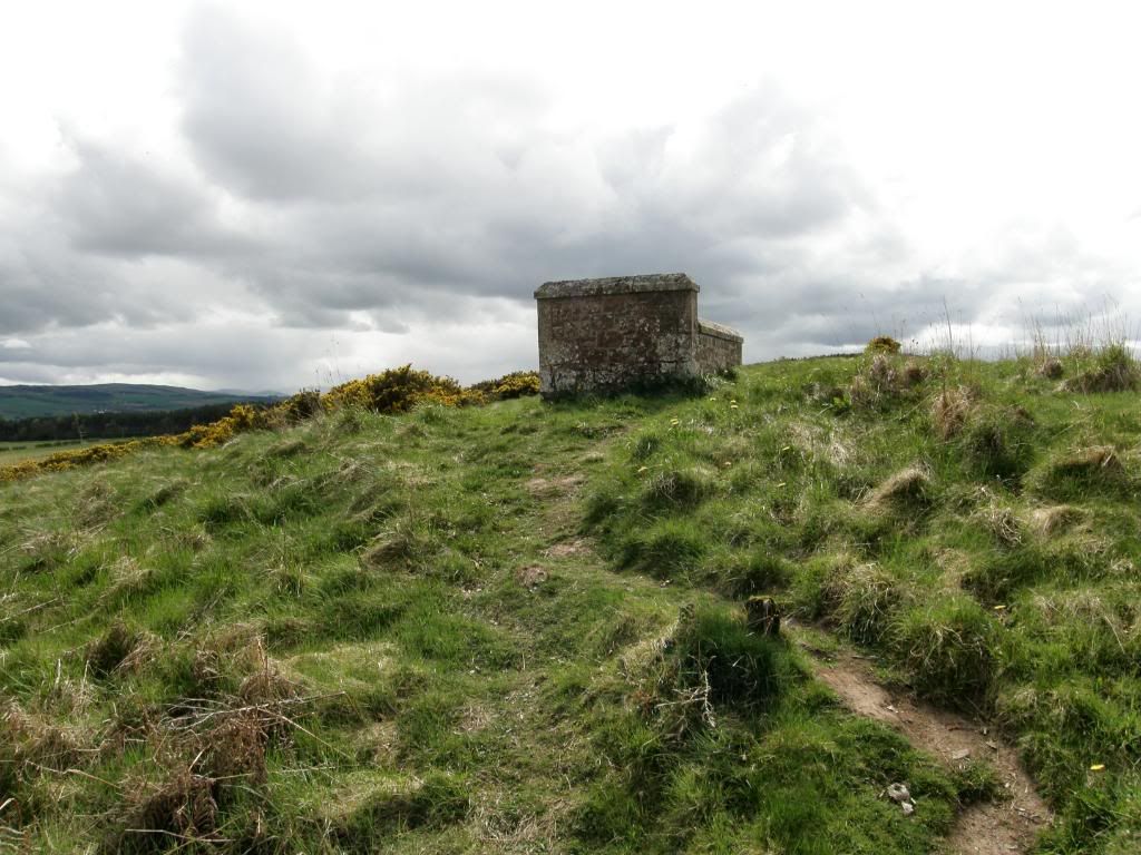
Lilliard’s Stone plot
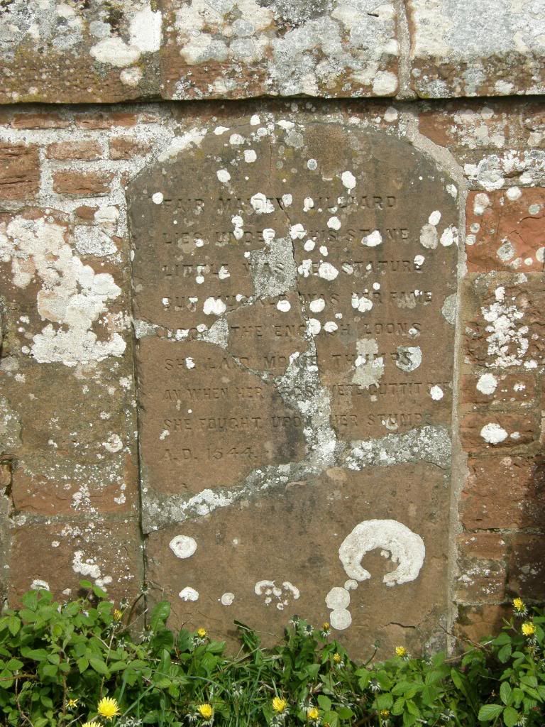
The inscribed stone
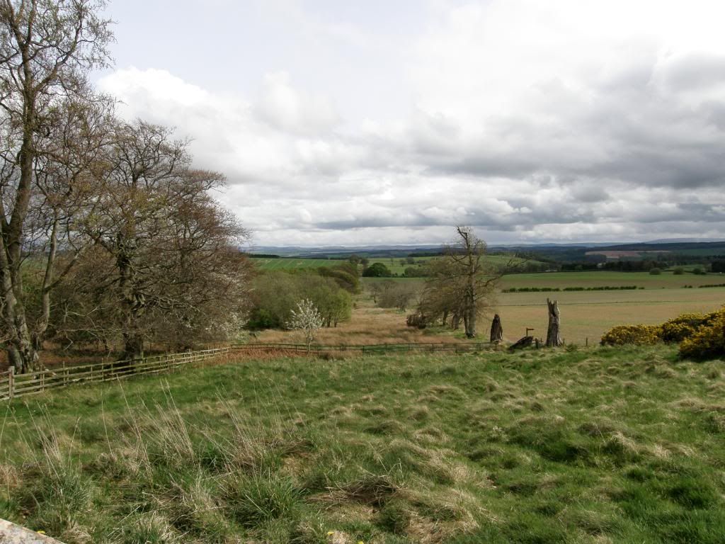
Dere Street
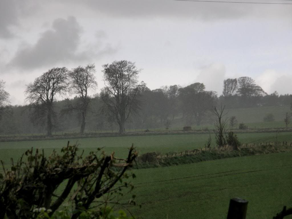
A rainy end to the day down towards Ancrum
I wondered if Monty Python’s ‘Life of Brian’ had used that for the scene with the black knight? Away to my right I could see a monument in Ancrum Park and the noise from the A68 intruded into my thoughts a little. I could see the rain approaching from the west so I upped the brolly when I heard the first spatters of fat raindrops when I was in the woodland path down to the road at Harestanes. It was a mile walk into the village of Ancrum – not much to look at here and only one pub in the place. But a pub it is and that was the end of a long first day, very interesting and generally very peaceful.

No comments:
Post a Comment